Waterway information

Kind:
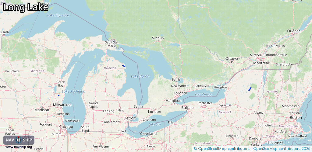
Inland
Driving areas:
🇺🇸 United States of America
Length:
38.3 km¹
¹River kilometers or bank length recorded in NavShip, including river arms and harbor entrances.
Availability:
Completely recorded
Recent Update: 04.03.2025²
² This date indicates when an adjustment last took place in the course of the body of water
Recorded:
Locks: 0
Harbours / marinas: 5
Bridges: 0
Berths: 0
Slipways: 0
Fuelstations: 0
Route:
Please wait, loading route graphic...
Request waterway overview map with symbol legend here (Link).
Information about data associated with this body of water (5 available):
Data by OpenSeaMap (c) OSM contributors, www.openseamap.org
| # | Kind | Coordinates | Name | Information |
|---|---|---|---|---|
| 1 | Marina | 43.693,-88.16838 | 2020-09-12T18:10:54Z | Tittle Lake Yacht Club |
| 2 | Marina | 43.69298,-88.16868 | 2021-07-08T20:55:18Z | |
| 3 | Marina | 45.20353,-83.45208 | 2021-06-13T12:27:35Z | Dodge Marine & Storage +1 989 595 5040 https://www.dodgemarine.com/ |
| 4 | Marina | 43.97704,-74.41576 | 2025-01-19T22:29:05Z | Long Lake State Boat Launch https://www.dec.ny.gov/outdoor/32541.html |
| 5 | Marina | 43.6891,-88.16914 | 2020-09-12T18:10:54Z | Aqualand |