Waterway information

Kind:
Inland
Driving areas:
🇺🇸 United States of America
Length:
12.3 km¹
¹River kilometers or bank length recorded in NavShip, including river arms and harbor entrances.
Availability:
Completely recorded
Recent Update: 17.10.2025²
² This date indicates when an adjustment last took place in the course of the body of water
Recorded:
Locks: 0
Harbours / marinas: 0
Bridges: 0
Berths: 6
Slipways: 0
Fuelstations: 0
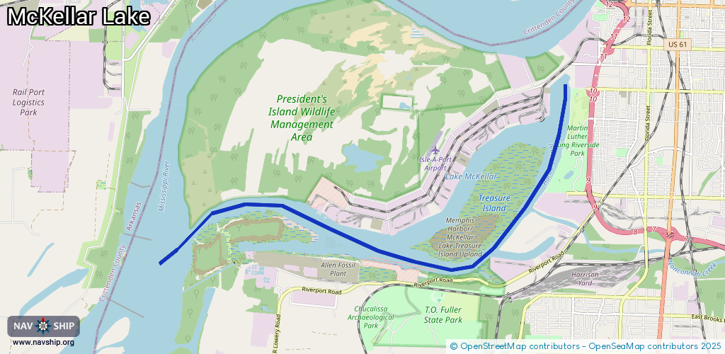
Route:
Please wait, loading route graphic...
Request waterway overview map with symbol legend here (Link).
Information about data associated with this body of water (6 available):
Data by OpenSeaMap (c) OSM contributors, www.openseamap.org
| # | Kind | Coordinates | Name | Information |
|---|---|---|---|---|
| 1 | Berth | 35.07346,-90.12192 | 2025-10-03T10:48:04Z | M/V Goodwin A single or twin-screw Diesel towboat 65 feet in length, engaged in revetment plant tending and towing operations on the Mississippi River and Tributaries. |
| 2 | Berth | 35.07329,-90.12089 | 2025-10-03T10:48:04Z | M/V Lusk |
| 3 | Berth | 35.07293,-90.11891 | 2025-10-03T10:48:04Z | M/V Ward |
| 4 | Berth | 35.07426,-90.12696 | 2025-10-03T10:48:04Z | M/V Mississippi M/V Mississippi’s primary use is as a working towboat, secondly to serve as a means to conduct public inspections and meetings by the Mississippi River Commission along the Mississippi and Atchafalaya Rivers. |
| 5 | Berth | 35.0746,-90.12929 | 2025-10-03T10:48:04Z | M/V George C. Grugett |
| 6 | Berth | 35.07391,-90.1252 | 2025-10-03T10:48:04Z | Dredge Hurley The largest dustpan dredge in North America, at 348.5 feet long and 58 feet wide. Its hull is 11 feet deep, and its draft is 7 feet. The Hurley has a 38-inch diameter suction pipe with a 32-inch diameter discharge pipe. |