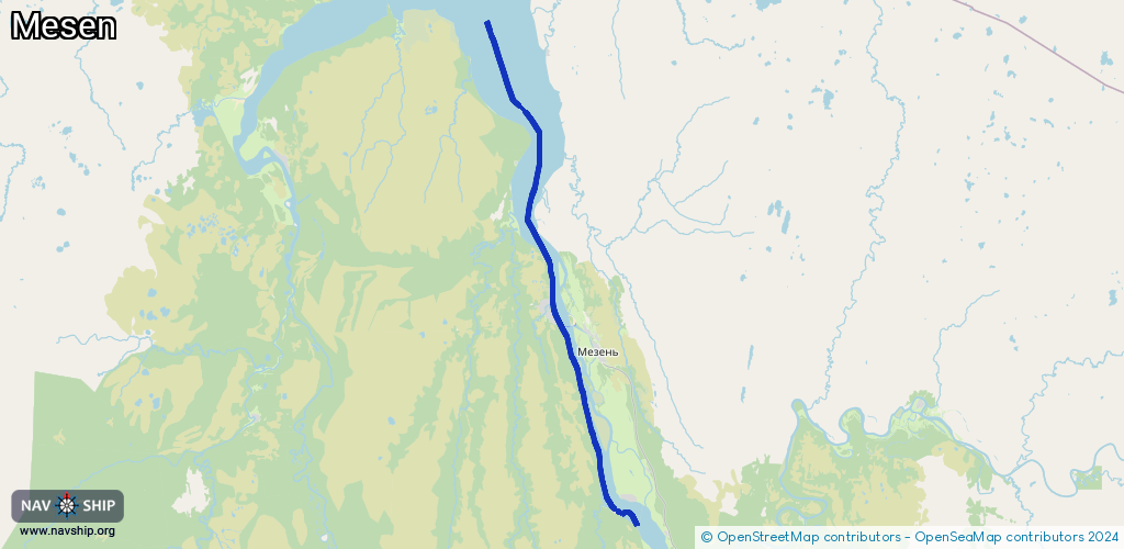
Waterway information

Kind:
Inland
Driving areas:
🇷🇺 Russia
Length:
62.7 km¹
¹River kilometers or bank length recorded in NavShip, including river arms and harbor entrances.
Availability:
Completely recorded
Recent Update: 27.09.2023²
² This date indicates when an adjustment last took place in the course of the body of water
Recorded:
Locks: 0
Harbours / marinas: 0
Bridges: 0
Berths: 4
Slipways: 0
Fuelstations: 0
Route:
Please wait, loading route graphic...
Request waterway overview map with symbol legend here (Link).
Information about data associated with this body of water (4 available):
Data by OpenSeaMap (c) OSM contributors, www.openseamap.org
| # | Kind | Coordinates | Name | Information |
|---|---|---|---|---|
| 1 | Berth | 65.88833,44.12833 | 2022-07-25T15:56:49Z | 1 65°53,3' N 044°07,7' E |
| 2 | Berth | 65.92312,44.13414 | 2022-07-25T15:56:49Z | Мезенский внутренний рейд |
| 3 | Berth | 65.92857,44.1316 | 2022-07-25T15:56:49Z | Карантинная |
| 4 | Berth | 65.93667,44.12 | 2022-07-25T15:56:49Z | 2 65°56,2' N 044°07,2' E |