Waterway information

Kind:
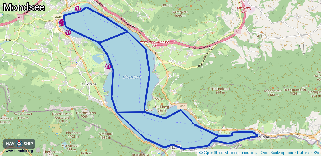
Lake
Driving areas:
🇦🇹 Austria
Length:
26.1 km¹
¹River kilometers or bank length recorded in NavShip, including river arms and harbor entrances.
Availability:
Completely recorded
Recent Update: 22.02.2026²
² This date indicates when an adjustment last took place in the course of the body of water
Recorded:
Locks: 0
Harbours / marinas: 7
Bridges: 0
Berths: 0
Slipways: 0
Fuelstations: 0
Route:
Please wait, loading route graphic...
Request waterway overview map with symbol legend here (Link).
Information about data associated with this body of water (7 available):
Data by OpenSeaMap (c) OSM contributors, www.openseamap.org
| # | Kind | Coordinates | Name | Information |
|---|---|---|---|---|
| 1 | Marina | 47.84562,13.34171 | 2021-03-20T19:20:52Z | Essl |
| 2 | Marina | 47.84527,13.34173 | 2021-03-20T19:20:52Z | Yachtclub Schwarzindien |
| 3 | Marina | 47.84531,13.34123 | 2021-03-20T19:20:52Z | |
| 4 | Marina | 47.84571,13.34154 | 2021-03-20T19:20:52Z | |
| 5 | Marina | 47.84183,13.34494 | 2021-03-20T19:20:52Z | Segelschule Weiße Taube https://www.weissetaube-mondsee.at |
| 6 | Marina | 47.82924,13.36684 | 2021-03-20T19:20:52Z | |
| 7 | Marina | 47.85065,13.3504 | 2022-07-10T17:09:52Z | Segelschule Mondsee |