Waterway information

Kind:
Lower
Driving areas:
🇬🇧 United Kingdom
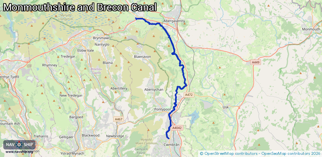
Length:
28 km¹
¹River kilometers or bank length recorded in NavShip, including river arms and harbor entrances.
Availability:
Completely recorded
Recent Update: 30.07.2025²
² This date indicates when an adjustment last took place in the course of the body of water
Recorded:
Locks: 0
Harbours / marinas: 2
Bridges: 0
Berths: 0
Slipways: 0
Fuelstations: 0
Route:
Please wait, loading route graphic...
Request waterway overview map with symbol legend here (Link).
Information about data associated with this body of water (2 available):
Data by OpenSeaMap (c) OSM contributors, www.openseamap.org
| # | Kind | Coordinates | Name | Information |
|---|---|---|---|---|
| 1 | Marina | 51.81709,-3.06025 | 2024-12-01T20:51:54Z | Govilon Boat Club |
| 2 | Marina | 51.82438,-3.09882 | 2025-07-27T11:31:29Z | Castle Boats [email protected] +44 1873 830001 https://castlenarrowboats.co.uk/ |