Waterway information

Kind:
Lower
Driving areas:
🇩🇪 Germany
Length:
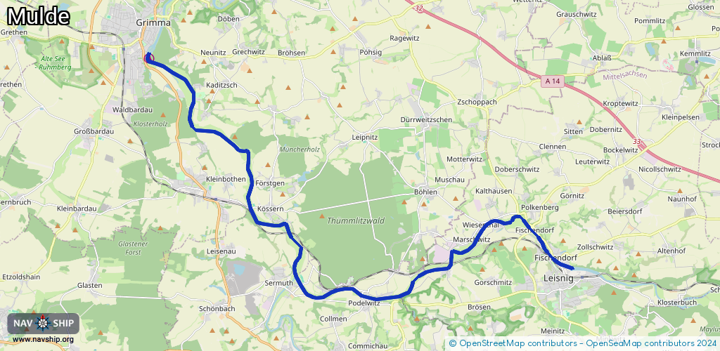
23.5 km¹
¹River kilometers or bank length recorded in NavShip, including river arms and harbor entrances.
Availability:
Completely recorded
Recent Update: 11.07.2023²
² This date indicates when an adjustment last took place in the course of the body of water
Recorded:
Locks: 0
Harbours / marinas: 1
Bridges: 0
Berths: 0
Slipways: 1
Fuelstations: 0
Route:
Please wait, loading route graphic...
Request waterway overview map with symbol legend here (Link).
Information about data associated with this body of water (2 available):
Data by OpenSeaMap (c) OSM contributors, www.openseamap.org
| # | Kind | Coordinates | Name | Information |
|---|---|---|---|---|
| 1 | Marina | 51.22733,12.72646 | 2022-12-25T09:23:29Z | Seesportverein Albin Köbis Grimma e.V. https://www.seesportverein-grimma.de |
| 2 | Slipway | 51.22728,12.72603 | Unknown | 2018-09-14T09:50:40Z |