Waterway information

Kind:
Inland
Driving areas:
🇨🇿 Czech Republic
Length:
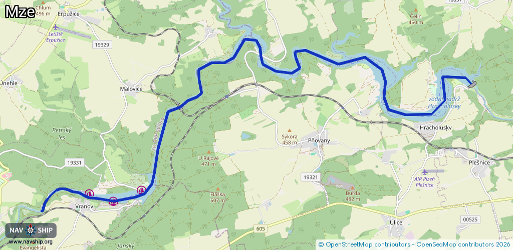
16.6 km¹
¹River kilometers or bank length recorded in NavShip, including river arms and harbor entrances.
Availability:
Completely recorded
Recent Update: 20.06.2023²
² This date indicates when an adjustment last took place in the course of the body of water
Recorded:
Locks: 0
Harbours / marinas: 3
Bridges: 0
Berths: 0
Slipways: 0
Fuelstations: 0
Route:
Please wait, loading route graphic...
Request waterway overview map with symbol legend here (Link).
Information about data associated with this body of water (3 available):
Data by OpenSeaMap (c) OSM contributors, www.openseamap.org
| # | Kind | Coordinates | Name | Information |
|---|---|---|---|---|
| 1 | Marina | 49.76777,13.06095 | 2020-12-31T10:01:50Z | Škoda |
| 2 | Marina | 49.76527,13.05128 | 2020-12-31T10:01:50Z | Vranov |
| 3 | Marina | 49.76695,13.04302 | 2020-12-31T10:01:50Z | Butov |