Waterway information

Kind:
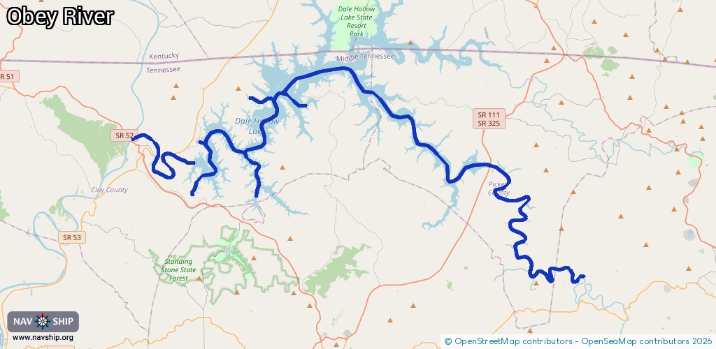
Inland
Driving areas:
🇺🇸 United States of America
Length:
93.1 km¹
¹River kilometers or bank length recorded in NavShip, including river arms and harbor entrances.
Availability:
Completely recorded
Recent Update: 01.04.2025²
² This date indicates when an adjustment last took place in the course of the body of water
Recorded:
Locks: 0
Harbours / marinas: 4
Bridges: 0
Berths: 0
Slipways: 0
Fuelstations: 0
Route:
Please wait, loading route graphic...
Request waterway overview map with symbol legend here (Link).
Information about data associated with this body of water (4 available):
Data by OpenSeaMap (c) OSM contributors, www.openseamap.org
| # | Kind | Coordinates | Name | Information |
|---|---|---|---|---|
| 1 | Marina | 36.51454,-85.38601 | 2022-08-08T12:03:26Z | Mitchell Creek Marina |
| 2 | Marina | 36.58752,-85.39783 | 2025-05-31T23:17:51Z | Holly Creek Marina |
| 3 | Marina | 36.54337,-85.43774 | 2024-04-11T21:00:23Z | Cedar Hill Marina |
| 4 | Marina | 36.55322,-85.44699 | 2024-04-11T21:00:23Z | Dale Hollow Marina |