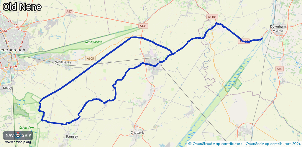
Waterway information

Kind:
Inland
Driving areas:
🇬🇧 United Kingdom
Length:
75.3 km¹
¹River kilometers or bank length recorded in NavShip, including river arms and harbor entrances.
Availability:
Completely recorded
Recent Update: 10.08.2023²
² This date indicates when an adjustment last took place in the course of the body of water
Recorded:
Locks: 2
Harbours / marinas: 2
Bridges: 0
Berths: 0
Slipways: 0
Fuelstations: 0
Route:
Please wait, loading route graphic...
Request waterway overview map with symbol legend here (Link).
Information about data associated with this body of water (4 available):
Data by OpenSeaMap (c) OSM contributors, www.openseamap.org
| # | Kind | Coordinates | Name | Information |
|---|---|---|---|---|
| 1 | Marina | 52.46532,-0.10893 | 2020-08-16T22:17:43Z | Bill Fen Marina http://www.billfenmarina.com |
| 2 | Marina | 52.55414,0.06534 | 2020-08-22T18:05:51Z | |
| 3 | Lock | 52.46891,-0.1068 | Unknown | |
| 4 | Lock | 52.58923,0.34016 | Unknown |