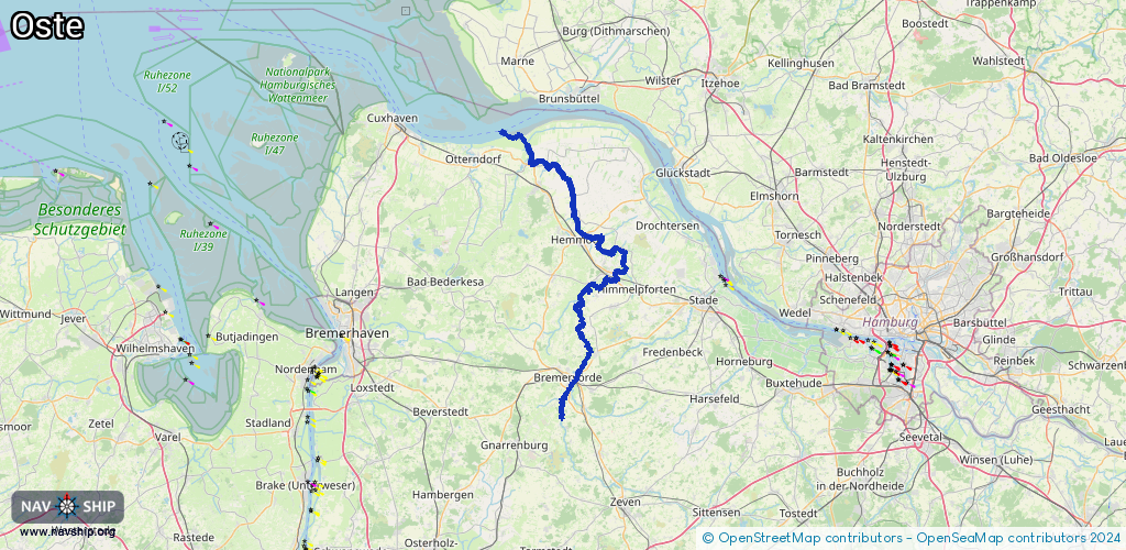
Waterway information

Kind:
Inland
Driving areas:
🇩🇪 Germany🌊 North Sea
Length:
84.7 km¹
¹River kilometers or bank length recorded in NavShip, including river arms and harbor entrances.
Availability:
Completely recorded
Recent Update: 02.02.2026²
² This date indicates when an adjustment last took place in the course of the body of water
Recorded:
Locks: 1
Harbours / marinas: 2
Bridges: 0
Berths: 0
Slipways: 0
Fuelstations: 0
Route:
Please wait, loading route graphic...
Request waterway overview map with symbol legend here (Link).
Information about data associated with this body of water (3 available):
Data by OpenSeaMap (c) OSM contributors, www.openseamap.org
| # | Kind | Coordinates | Name | Information |
|---|---|---|---|---|
| 1 | Marina | 53.48479,9.1554 | 2019-03-28T17:31:11Z | Hafen Bremervörde [email protected] https://www.bremervoerde.de/index.php?option=com_content&view=article&id=173&Itemid=193 |
| 2 | Marina | 53.48856,9.15742 | 2025-05-16T23:05:32Z | Oste-Yacht-Club |
| 3 | Lock | 53.48174,9.15665 | Schleusenanlage Bremervörde | 0170 / 4920282 |