Waterway information

Kind:
Inland
Driving areas:
🇬🇧 United Kingdom
Length:
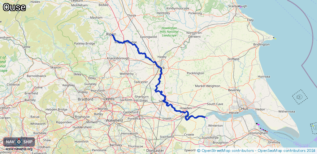
115.1 km¹
¹River kilometers or bank length recorded in NavShip, including river arms and harbor entrances.
Availability:
Completely recorded
Recent Update: 09.04.2025²
² This date indicates when an adjustment last took place in the course of the body of water
Recorded:
Locks: 0
Harbours / marinas: 2
Bridges: 0
Berths: 0
Slipways: 0
Fuelstations: 0
Route:
Please wait, loading route graphic...
Request waterway overview map with symbol legend here (Link).
Information about data associated with this body of water (2 available):
Data by OpenSeaMap (c) OSM contributors, www.openseamap.org
| # | Kind | Coordinates | Name | Information |
|---|---|---|---|---|
| 1 | Marina | 54.11761,-1.50025 | 2024-03-20T16:46:30Z | Ripon Motor Boat Club Marina |
| 2 | Marina | 54.12576,-1.50422 | 2024-11-25T09:45:00Z | Ripon Racecourse Marina https://aquavista.com/find-a-marina/ripon-waterside-marina |