Waterway information

Kind:
Inland
Driving areas:
🌊 Baltic Sea🇩🇪 Germany
Length:
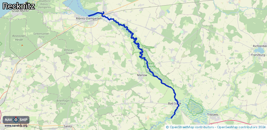
37 km¹
¹River kilometers or bank length recorded in NavShip, including river arms and harbor entrances.
Availability:
Completely recorded
Recent Update: 07.08.2024²
² This date indicates when an adjustment last took place in the course of the body of water
Recorded:
Locks: 0
Harbours / marinas: 1
Bridges: 0
Berths: 0
Slipways: 2
Fuelstations: 0
Route:
Please wait, loading route graphic...
Request waterway overview map with symbol legend here (Link).
Information about data associated with this body of water (3 available):
Data by OpenSeaMap (c) OSM contributors, www.openseamap.org
| # | Kind | Coordinates | Name | Information |
|---|---|---|---|---|
| 1 | Marina | 54.25072,12.47116 | 2022-07-15T15:52:41Z | Hafen Damgarten |
| 2 | Slipway | 54.10706,12.66697 | small_craft_facility | 2019-10-29T14:35:11Z |
| 3 | Slipway | 54.10646,12.66624 | small_craft_facility | 2019-10-29T14:35:11Z |