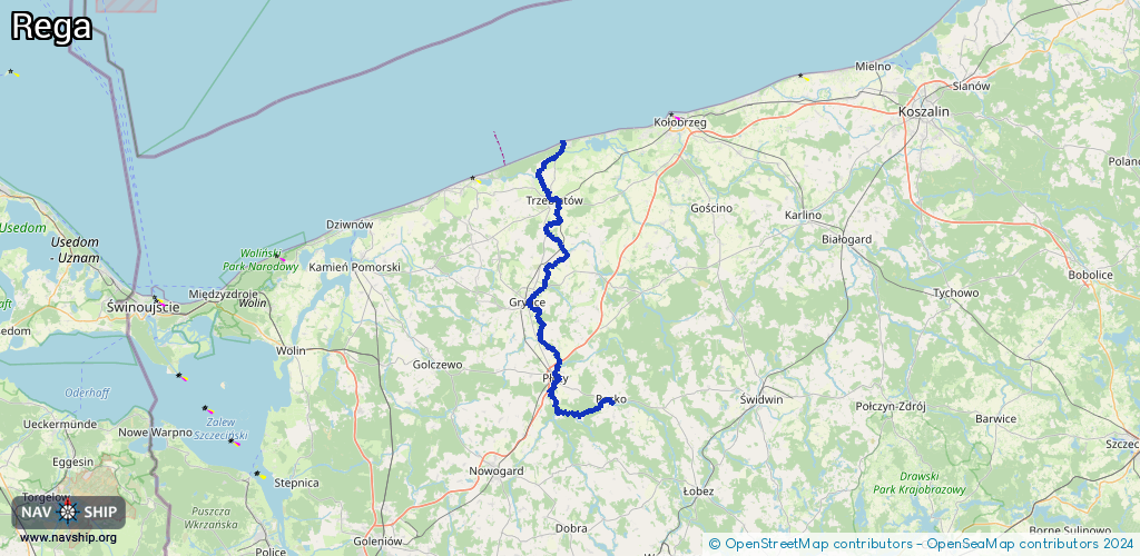
Waterway information

Kind:
Lower
Driving areas:
🌊 Baltic Sea🇵🇱 Poland
Length:
82.2 km¹
¹River kilometers or bank length recorded in NavShip, including river arms and harbor entrances.
Availability:
Completely recorded
Recent Update: 04.08.2023²
² This date indicates when an adjustment last took place in the course of the body of water
Recorded:
Locks: 0
Harbours / marinas: 1
Bridges: 0
Berths: 0
Slipways: 5
Fuelstations: 0
Route:
Please wait, loading route graphic...
Request waterway overview map with symbol legend here (Link).
Information about data associated with this body of water (6 available):
Data by OpenSeaMap (c) OSM contributors, www.openseamap.org
| # | Kind | Coordinates | Name | Information |
|---|---|---|---|---|
| 1 | Marina | 54.05851,15.26787 | 2025-03-09T14:19:31Z | Przystan kajakowa przy rzece Młynówka |
| 2 | Slipway | 53.77131,15.40391 | small_craft_facility | 2018-04-08T18:51:23Z |
| 3 | Slipway | 53.77171,15.40187 | small_craft_facility | 2017-03-03T15:04:26Z |
| 4 | Slipway | 53.77352,15.39687 | small_craft_facility | 2021-09-14T09:53:33Z |
| 5 | Slipway | 54.14078,15.28668 | small_craft_facility | 2019-07-01T21:05:51Z |
| 6 | Slipway | 54.14277,15.28575 | small_craft_facility | 2018-09-05T08:26:42Z |