Waterway information

Kind:
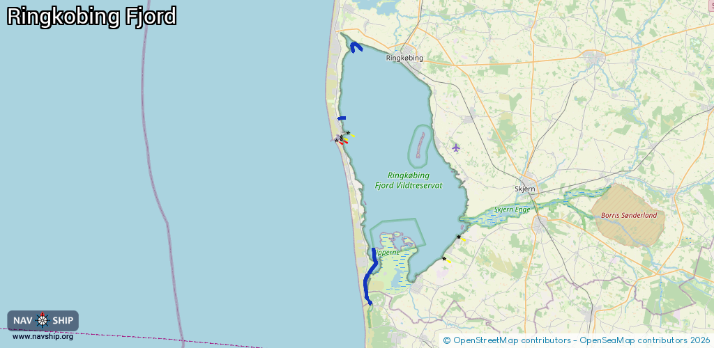
Inland
Driving areas:
🇩🇰 Denmark🌊 North Sea
Length:
11.2 km¹
¹River kilometers or bank length recorded in NavShip, including river arms and harbor entrances.
Availability:
Completely recorded
Recent Update: 27.09.2024²
² This date indicates when an adjustment last took place in the course of the body of water
Recorded:
Locks: 0
Harbours / marinas: 2
Bridges: 2
Berths: 0
Slipways: 0
Fuelstations: 0
Route:
Please wait, loading route graphic...
Request waterway overview map with symbol legend here (Link).
Information about data associated with this body of water (4 available):
Data by OpenSeaMap (c) OSM contributors, www.openseamap.org
| # | Kind | Coordinates | Name | Information |
|---|---|---|---|---|
| 1 | Marina | 55.81895,8.18447 | 2024-01-13T11:46:07Z | Nymindegab Havn |
| 2 | Marina | 56.02389,8.12399 | 2024-01-08T18:28:49Z | |
| 3 | Bridge | 56.10528,8.15881 | Unknown | Clearance height: 2024-09-25T08:11:00Z m Maximum passage width: 1.5 m fixed |
| 4 | Bridge | 56.10207,8.15034 | Unknown | Clearance height: 2024-09-25T08:11:00Z m Maximum passage width: 1.5 m fixed |