Waterway information

Kind:
Inland
Driving areas:
🇧🇷 Brazil
Length:
721.7 km¹
¹River kilometers or bank length recorded in NavShip, including river arms and harbor entrances.
Availability:
Completely recorded
Recent Update: 03.09.2025²
² This date indicates when an adjustment last took place in the course of the body of water
Recorded:
Locks: 0
Harbours / marinas: 5
Bridges: 0
Berths: 0
Slipways: 0
Fuelstations: 0
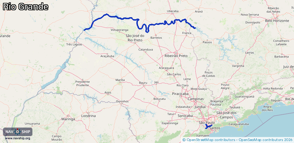
Route:
Please wait, loading route graphic...
Request waterway overview map with symbol legend here (Link).
Information about data associated with this body of water (5 available):
Data by OpenSeaMap (c) OSM contributors, www.openseamap.org
| # | Kind | Coordinates | Name | Information |
|---|---|---|---|---|
| 1 | Marina | -20.08199,-47.42013 | 2023-06-26T23:47:53Z | Mariana |
| 2 | Marina | -20.08357,-47.42332 | 2023-06-26T23:47:53Z | Maré Alta |
| 3 | Marina | -20.0688,-47.4364 | 2023-06-24T12:38:20Z | |
| 4 | Marina | -20.06903,-47.4364 | 2023-06-24T12:38:20Z | |
| 5 | Marina | -23.77649,-46.53169 | 2022-08-03T18:59:02Z | Marina e Restaurante A.W.R |