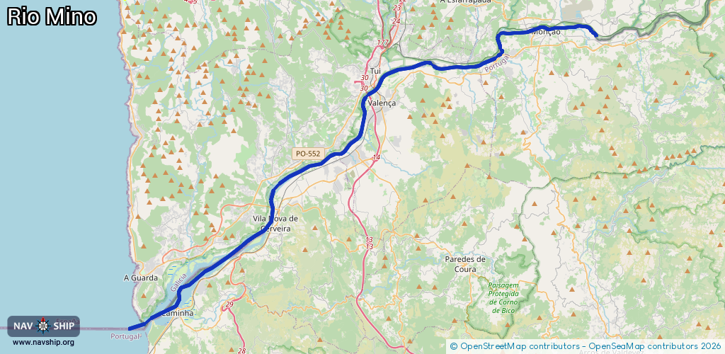
Waterway information

Kind:
Inland
Driving areas:
🌊 Atlantic Ocean🇵🇹 Portugal🇪🇸 Spain
Length:
51.5 km¹
¹River kilometers or bank length recorded in NavShip, including river arms and harbor entrances.
Availability:
Completely recorded
Recent Update: 12.05.2023²
² This date indicates when an adjustment last took place in the course of the body of water
Recorded:
Locks: 0
Harbours / marinas: 2
Bridges: 0
Berths: 0
Slipways: 0
Fuelstations: 0
Route:
Please wait, loading route graphic...
Request waterway overview map with symbol legend here (Link).
Information about data associated with this body of water (2 available):
Data by OpenSeaMap (c) OSM contributors, www.openseamap.org
| # | Kind | Coordinates | Name | Information |
|---|---|---|---|---|
| 1 | Marina | 42.04664,-8.64106 | 2022-02-04T12:45:18Z | Porto deportivo |
| 2 | Marina | 42.01855,-8.65631 | 2023-07-01T16:05:42Z | Marina de Cristelo Covo |