Waterway information

Kind:
Inland
Driving areas:
🌊 Atlantic Ocean🇧🇷 Brazil🇨🇴 ColombiaOther areas🇻🇪 Venezuela
Length:
1359.5 km¹, 2250 km official total length
¹River kilometers or bank length recorded in NavShip, including river arms and harbor entrances.
Availability:
Completely recorded
Recent Update: 13.06.2025²
² This date indicates when an adjustment last took place in the course of the body of water
Recorded:
Locks: 0
Harbours / marinas: 21
Bridges: 0
Berths: 1
Slipways: 0
Fuelstations: 0
Useful information:
Length: approx. 2,250 km
Course: Colombia → Venezuela → Brazil
Flows into: Amazon
The Rio Negro is the largest blackwater river on earth and one of the most important tributaries of the Amazon. Its dark water is caused by the high content of organic matter from the rainforests.
Special features:
Drains huge rainforest areas in the northern Amazon basin.
Important city on the river: Manaus.
Extremely nutrient-poor but species-rich black water.
Impressive natural phenomenon: the “Meeting of the Waters” – the slow confluence with the clear waters of the Rio Solimões near Manaus.
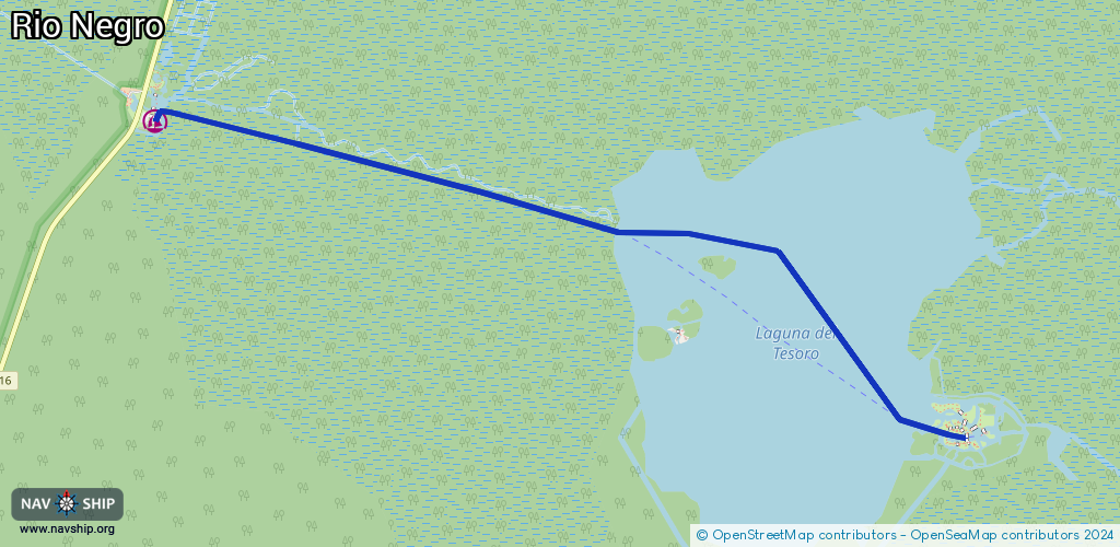
Route:
Please wait, loading route graphic...
Request waterway overview map with symbol legend here (Link).
Information about data associated with this body of water (22 available):
Data by OpenSeaMap (c) OSM contributors, www.openseamap.org
| # | Kind | Coordinates | Name | Information |
|---|
| 1 | Marina | 1.1895,-66.83923 | 2021-08-17T23:58:52Z | |
| 2 | Marina | -0.13534,-67.0909 | 2015-07-05T18:37:11Z | São Gabriel da Cachoeira |
| 3 | Marina | -0.41765,-65.01981 | 2016-06-09T19:11:27Z | Santa Isabel do Rio Negro |
| 4 | Marina | -2.62369,-60.93649 | 2015-07-05T23:32:45Z | Novo Airão |
| 5 | Marina | -3.13701,-59.93943 | 2015-07-02T16:30:26Z | |
| 6 | Marina | -3.1597,-59.99161 | 2022-07-29T21:12:38Z | Porto Chibatão |
| 7 | Marina | -3.15607,-59.99859 | 2022-07-29T21:12:38Z | Superterminais |
| 8 | Marina | -3.15369,-60.00047 | 2022-07-29T21:12:38Z | Porto Moss |
| 9 | Marina | -3.142,-60.0223 | 2017-06-15T23:30:34Z | Manaus Moderna |
| 10 | Marina | -3.13845,-60.02754 | 2020-06-16T08:38:18Z | Roadway Porto Público de Manaus |
| 11 | Marina | -3.14135,-60.02464 | 2015-07-05T23:32:45Z | Terminal AJATO
http://terminalajato.com.br/ |
| 12 | Marina | -3.13724,-60.02948 | 2015-07-07T04:43:06Z | Porto Público de Manaus |
| 13 | Marina | -3.12489,-60.04412 | 2017-06-22T06:15:05Z | Balsa do São Raimundo |
| 14 | Marina | -3.11759,-60.05526 | 2015-07-02T16:30:37Z | Porto da Sanave |
| 15 | Marina | -3.11147,-60.06401 | 2023-06-28T00:31:59Z | Estaleiro Sandro |
| 16 | Marina | -3.1108,-60.06538 | 2023-06-28T00:31:59Z | Estaleiro Sales Nave |
| 17 | Marina | -3.09557,-60.07693 | 2023-06-28T00:31:59Z | |
| 18 | Marina | -3.13875,-60.08811 | 2021-11-26T19:45:48Z | Balsa |
| 19 | Marina | 22.36634,-81.16402 | 2023-03-06T15:20:23Z | Ferry Station |
| 20 | Marina | -3.1256,-59.92814 | 2022-04-01T19:52:26Z | Porto da Eletronorte |
| 21 | Marina | -0.96684,-62.9282 | 2015-07-05T18:37:11Z | Barcelos |
| 22 | Berth | -3.1152,-60.08809 | 2013-03-15T08:21:36Z | Aguada |