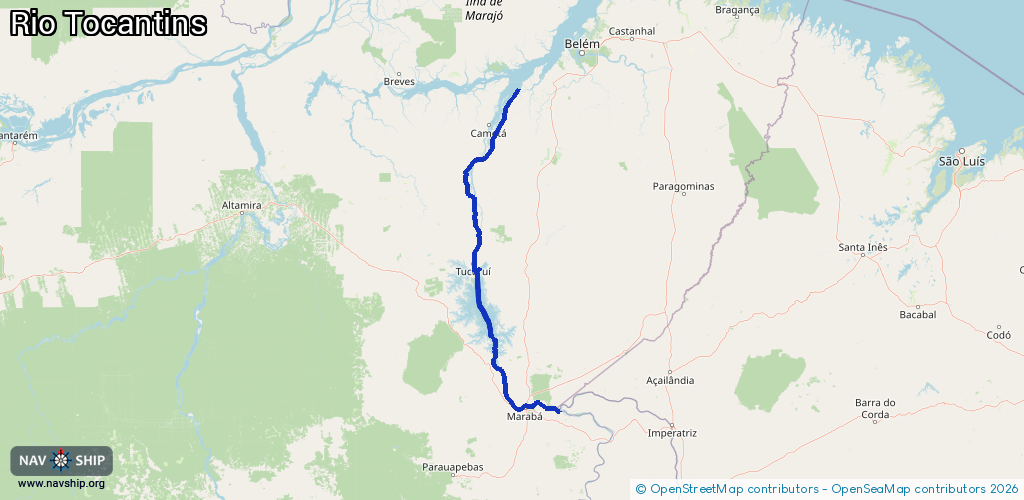
Waterway information

Kind:
Inland
Driving areas:
🇧🇷 Brazil
Length:
511 km¹
¹River kilometers or bank length recorded in NavShip, including river arms and harbor entrances.
Availability:
Completely recorded
Recent Update: 04.04.2025²
² This date indicates when an adjustment last took place in the course of the body of water
Recorded:
Locks: 2
Harbours / marinas: 6
Bridges: 0
Berths: 0
Slipways: 0
Fuelstations: 0
Route:
Please wait, loading route graphic...
Request waterway overview map with symbol legend here (Link).
Information about data associated with this body of water (6 available):
Data by OpenSeaMap (c) OSM contributors, www.openseamap.org
| # | Kind | Coordinates | Name | Information |
|---|---|---|---|---|
| 1 | Marina | -3.81877,-49.60985 | 2015-06-30T18:41:58Z | Breu Branco |
| 2 | Marina | -3.76407,-49.66391 | 2015-06-30T18:41:58Z | Tucuruí |
| 3 | Marina | -3.75353,-49.6652 | 2023-06-21T19:03:31Z | |
| 4 | Marina | -3.75352,-49.66514 | 2023-11-24T05:28:09Z | |
| 5 | Marina | -3.74551,-49.66437 | 2023-06-14T18:17:37Z | |
| 6 | Marina | -5.33053,-49.11722 | 2022-10-20T12:32:08Z | JC Náutica |
| 6 | Marina | -5.33053,-49.11722 | 2022-10-20T12:32:08Z | JC Náutica |
| 6 | Marina | -5.33053,-49.11722 | 2022-10-20T12:32:08Z | JC Náutica |