Waterway information

Kind:
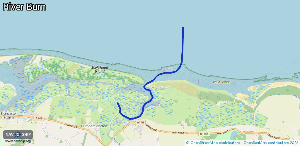
Inland
Driving areas:
🌊 North Sea🇬🇧 United Kingdom
Length:
6.1 km¹
¹River kilometers or bank length recorded in NavShip, including river arms and harbor entrances.
Availability:
Completely recorded
Recent Update: 18.03.2024²
² This date indicates when an adjustment last took place in the course of the body of water
Recorded:
Locks: 0
Harbours / marinas: 3
Bridges: 0
Berths: 0
Slipways: 0
Fuelstations: 0
Route:
Please wait, loading route graphic...
Request waterway overview map with symbol legend here (Link).
Information about data associated with this body of water (3 available):
Data by OpenSeaMap (c) OSM contributors, www.openseamap.org
| # | Kind | Coordinates | Name | Information |
|---|---|---|---|---|
| 1 | Marina | 52.97596,0.75412 | 2024-03-15T22:59:06Z | Houseboat |
| 2 | Marina | 52.97601,0.7541 | 2024-03-15T22:59:06Z | Harry's Studio |
| 3 | Marina | 52.97585,0.75304 | 2024-08-24T00:25:27Z | Grey Goose |