Waterway information

Kind:
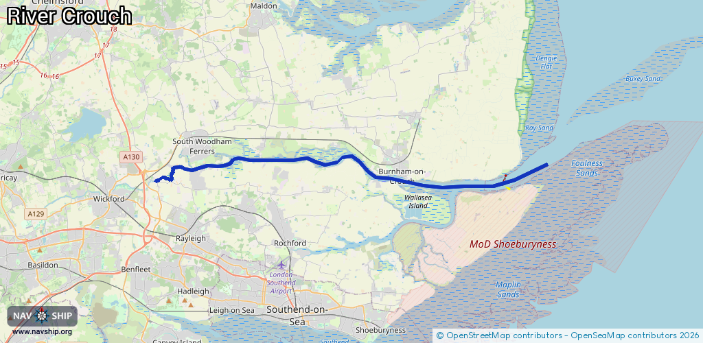
Inland
Driving areas:
🌊 North Sea🇬🇧 United Kingdom
Length:
29.6 km¹
¹River kilometers or bank length recorded in NavShip, including river arms and harbor entrances.
Availability:
Completely recorded
Recent Update: 21.08.2023²
² This date indicates when an adjustment last took place in the course of the body of water
Recorded:
Locks: 0
Harbours / marinas: 2
Bridges: 0
Berths: 0
Slipways: 1
Fuelstations: 0
Route:
Please wait, loading route graphic...
Request waterway overview map with symbol legend here (Link).
Information about data associated with this body of water (3 available):
Data by OpenSeaMap (c) OSM contributors, www.openseamap.org
| # | Kind | Coordinates | Name | Information |
|---|---|---|---|---|
| 1 | Marina | 51.62153,0.79715 | 2021-08-04T13:30:25Z | Essex Marina https://www.essexmarina.co.uk/ |
| 2 | Marina | 51.62874,0.80355 | 2024-03-02T20:44:29Z | Burnham Yacht Harbour [email protected] +44 1621 782150 https://burnhamyachtharbour.co.uk/ |
| 3 | Slipway | 51.62929,0.80297 | small_craft_facility | 2021-01-12T19:45:00Z |