Waterway information

Kind:
Inland
Driving areas:
🇨🇦 Canada
Length:
37.5 km¹
¹River kilometers or bank length recorded in NavShip, including river arms and harbor entrances.
Availability:
Completely recorded
Recent Update: 19.06.2023²
² This date indicates when an adjustment last took place in the course of the body of water
Recorded:
Locks: 0
Harbours / marinas: 4
Bridges: 0
Berths: 0
Slipways: 1
Fuelstations: 0
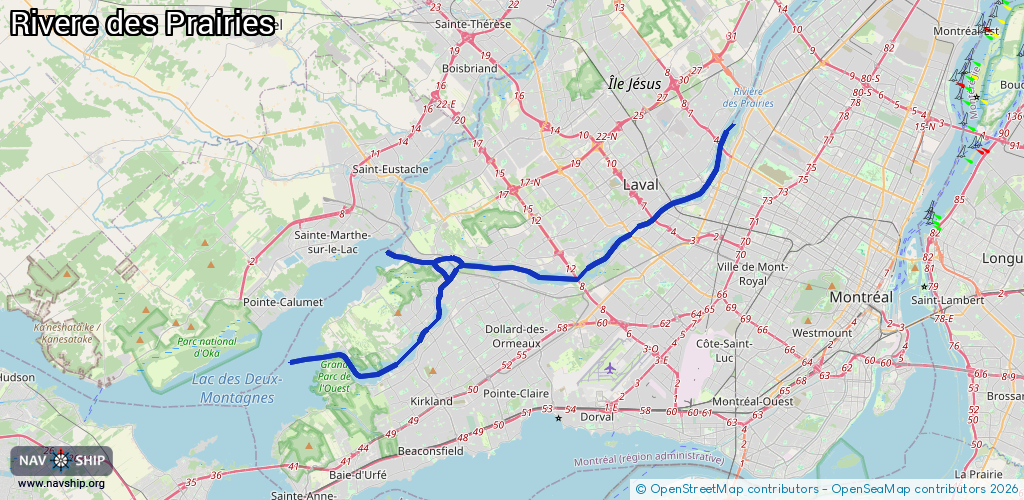
Route:
Please wait, loading route graphic...
Request waterway overview map with symbol legend here (Link).
Information about data associated with this body of water (5 available):
Data by OpenSeaMap (c) OSM contributors, www.openseamap.org
| # | Kind | Coordinates | Name | Information |
|---|---|---|---|---|
| 1 | Marina | 45.52175,-73.86249 | 2025-05-06T11:31:15Z | Marina Bobino Sport |
| 2 | Marina | 45.56935,-73.67196 | 2021-05-27T18:14:53Z | Commodore Yacht Club |
| 3 | Marina | 45.56197,-73.66963 | 2023-03-10T22:07:53Z | Site nautique de Sophie-Barat |
| 4 | Marina | 45.50947,-73.78447 | 2025-06-17T00:47:26Z | Port de Plaisance de Pierrefonds |
| 5 | Slipway | 45.50923,-73.78496 | Unknown | 2025-06-17T00:47:26Z |