Waterway information

Kind:
Lower
Driving areas:
🇩🇪 Germany
Length:
1.9 km¹
¹River kilometers or bank length recorded in NavShip, including river arms and harbor entrances.
Availability:
Completely recorded
Recent Update: 11.07.2023²
² This date indicates when an adjustment last took place in the course of the body of water
Recorded:
Locks: 0
Harbours / marinas: 1
Bridges: 0
Berths: 0
Slipways: 2
Fuelstations: 0
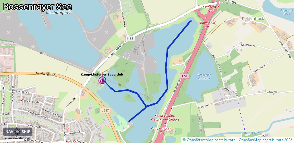
Route:
Please wait, loading route graphic...
Request waterway overview map with symbol legend here (Link).
Information about data associated with this body of water (3 available):
Data by OpenSeaMap (c) OSM contributors, www.openseamap.org
| # | Kind | Coordinates | Name | Information |
|---|---|---|---|---|
| 1 | Marina | 51.50604,6.56819 | 2023-11-08T04:30:32Z | Kamp-Lintforter Segelclub [email protected] https://www.klsc-segeln.de/ |
| 2 | Slipway | 51.50192,6.57231 | small_craft_facility | 2013-01-11T15:53:29Z |
| 3 | Slipway | 51.50618,6.56796 | small_craft_facility | 2013-01-11T15:53:30Z |