Waterway information

Kind:
Inland
Driving areas:
🇩🇪 Germany
Length:
9.4 km¹
¹River kilometers or bank length recorded in NavShip, including river arms and harbor entrances.
Availability:
Completely recorded
Recent Update: 31.03.2025²
² This date indicates when an adjustment last took place in the course of the body of water
Recorded:
Locks: 0
Harbours / marinas: 3
Bridges: 0
Berths: 0
Slipways: 0
Fuelstations: 0
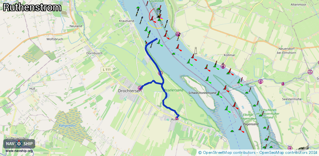
Route:
Please wait, loading route graphic...
Request waterway overview map with symbol legend here (Link).
Information about data associated with this body of water (3 available):
Data by OpenSeaMap (c) OSM contributors, www.openseamap.org
| # | Kind | Coordinates | Name | Information |
|---|---|---|---|---|
| 1 | Marina | 53.6922,9.43708 | 2013-01-22T10:31:54Z | Hafen Assel +49 4148 5077 |
| 2 | Marina | 53.7209,9.41901 | 2023-01-21T17:19:12Z | WSDE - Wassersportverein Drochtersen Elbe [email protected] +49 151 18760181 http://www.wsde.de/ |
| 3 | Marina | 53.71123,9.39672 | 2019-11-08T07:34:29Z | Gauensieker Wassersportverein +49 4143 6068 |