Waterway information

Kind:
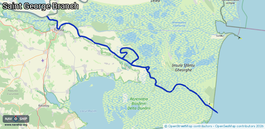
Inland
Driving areas:
🌊 Black Sea🇷🇴 Romania
Length:
119.8 km¹
¹River kilometers or bank length recorded in NavShip, including river arms and harbor entrances.
Availability:
Completely recorded
Recent Update: 09.04.2025²
² This date indicates when an adjustment last took place in the course of the body of water
Recorded:
Locks: 0
Harbours / marinas: 4
Bridges: 0
Berths: 0
Slipways: 0
Fuelstations: 0
Route:
Please wait, loading route graphic...
Request waterway overview map with symbol legend here (Link).
Information about data associated with this body of water (4 available):
Data by OpenSeaMap (c) OSM contributors, www.openseamap.org
| # | Kind | Coordinates | Name | Information |
|---|---|---|---|---|
| 1 | Marina | 45.18135,28.79311 | 2024-04-14T07:57:39Z | PA 1 Navrom Delta |
| 2 | Marina | 45.1811,28.79389 | 2023-05-09T12:35:25Z | PA2 |
| 3 | Marina | 44.89531,29.59051 | 2022-07-04T15:19:31Z | Portul Sf. Gheorghe |
| 4 | Marina | 44.89127,29.60235 | 2022-07-05T10:38:51Z | Green Village Marina |