Waterway information

Kind:
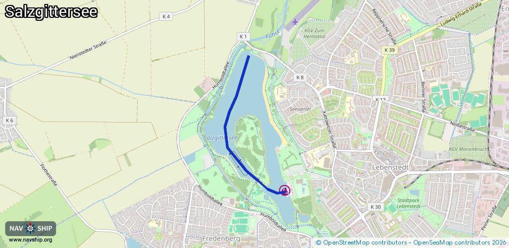
Inland
Driving areas:
🇩🇪 Germany
Length:
2 km¹
¹River kilometers or bank length recorded in NavShip, including river arms and harbor entrances.
Availability:
Completely recorded
Recent Update: 03.07.2024²
² This date indicates when an adjustment last took place in the course of the body of water
Recorded:
Locks: 0
Harbours / marinas: 1
Bridges: 0
Berths: 0
Slipways: 1
Fuelstations: 0
Route:
Please wait, loading route graphic...
Request waterway overview map with symbol legend here (Link).
Information about data associated with this body of water (2 available):
Data by OpenSeaMap (c) OSM contributors, www.openseamap.org
| # | Kind | Coordinates | Name | Information |
|---|---|---|---|---|
| 1 | Marina | 52.15086,10.31184 | 2023-04-02T12:06:47Z | Segel-Club Salzgitter [email protected] +49 5341 47501 www.scsz.de http://www.scsz.de/typo3temp/pics/d74da292d7.jpg |
| 2 | Slipway | 52.15168,10.31231 | small_craft_facility | 2024-11-09T16:48:12Z |