Waterway information

Kind:
Inland
Driving areas:
🇺🇸 United States of America
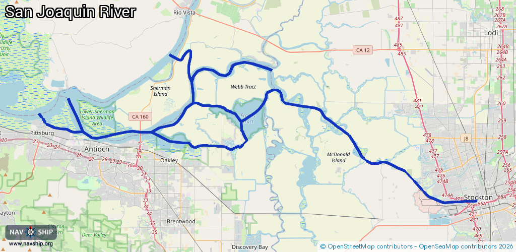
Length:
103.5 km¹
¹River kilometers or bank length recorded in NavShip, including river arms and harbor entrances.
Availability:
Completely recorded
Recent Update: 19.09.2025²
² This date indicates when an adjustment last took place in the course of the body of water
Recorded:
Locks: 0
Harbours / marinas: 3
Bridges: 0
Berths: 0
Slipways: 0
Fuelstations: 1
Route:
Please wait, loading route graphic...
Request waterway overview map with symbol legend here (Link).
Information about data associated with this body of water (4 available):
Data by OpenSeaMap (c) OSM contributors, www.openseamap.org
| # | Kind | Coordinates | Name | Information |
|---|---|---|---|---|
| 1 | Marina | 37.95311,-121.30081 | 2023-01-31T19:29:29Z | Stockton Downtown Marina |
| 2 | Marina | 37.9739,-121.3734 | 2020-12-21T16:22:17Z | Stockton Sailing Club |
| 3 | Marina | 38.01977,-121.82182 | 2024-01-18T23:36:06Z | Antioch Marina http://www.ci.antioch.ca.us/antioch-marina/ |
| 4 | Fuel station | 38.02653,-121.61201 | 2015-05-21T07:48:45Z |