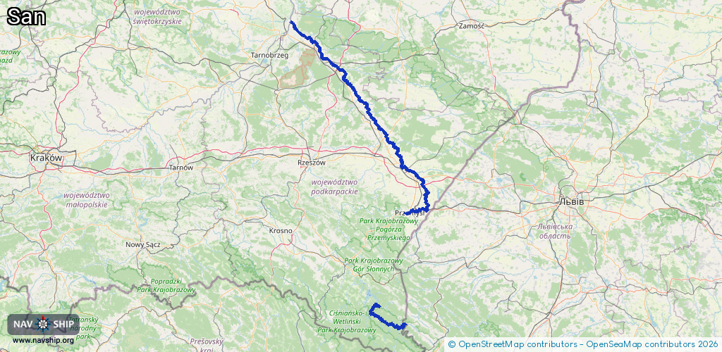
Waterway information

Kind:
Inland
Driving areas:
🇵🇱 Poland🇺🇦 Ukraine
Length:
225 km¹
¹River kilometers or bank length recorded in NavShip, including river arms and harbor entrances.
Availability:
Completely recorded
Recent Update: 24.06.2025²
² This date indicates when an adjustment last took place in the course of the body of water
Recorded:
Locks: 0
Harbours / marinas: 3
Bridges: 0
Berths: 0
Slipways: 2
Fuelstations: 0
Route:
Please wait, loading route graphic...
Request waterway overview map with symbol legend here (Link).
Information about data associated with this body of water (5 available):
Data by OpenSeaMap (c) OSM contributors, www.openseamap.org
| # | Kind | Coordinates | Name | Information |
|---|---|---|---|---|
| 1 | Marina | 49.78674,22.77091 | 2021-09-16T18:46:47Z | Przystań Wodna Stowarzyszenia Róża Wiatrów |
| 2 | Marina | 50.40297,22.33366 | 2017-03-03T14:53:19Z | Przystań rzeczna |
| 3 | Marina | 50.48603,22.26438 | 2017-03-03T14:53:19Z | Przystań rzeczna |
| 4 | Slipway | 49.31659,22.51097 | small_craft_facility | 2023-01-26T11:49:29Z |
| 5 | Slipway | 49.2181,22.63417 | small_craft_facility | 2017-03-03T15:04:13Z |