Waterway information

Kind:
Inland
Driving areas:
🌊 Atlantic Ocean🇺🇸 United States of America
Length:
4.5 km¹
¹River kilometers or bank length recorded in NavShip, including river arms and harbor entrances.
Availability:
Completely recorded
Recent Update: 19.01.2024²
² This date indicates when an adjustment last took place in the course of the body of water
Recorded:
Locks: 0
Harbours / marinas: 3
Bridges: 0
Berths: 0
Slipways: 0
Fuelstations: 0
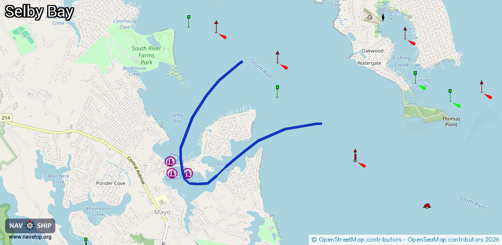
Route:
Please wait, loading route graphic...
Request waterway overview map with symbol legend here (Link).
Information about data associated with this body of water (3 available):
Data by OpenSeaMap (c) OSM contributors, www.openseamap.org
| # | Kind | Coordinates | Name | Information |
|---|---|---|---|---|
| 1 | Marina | 38.90083,-76.50939 | 2021-10-28T03:10:39Z | South River Marina [email protected] +1-800-262-8351 http://southrivermarina.com |
| 2 | Marina | 38.90158,-76.5098 | 2021-10-28T03:10:39Z | Anchor Yacht Basin [email protected] +1-410-798-1431 https://anchoryachtbasin.com |
| 3 | Marina | 38.90051,-76.50634 | 2021-10-28T03:10:39Z | Turkey Point Marina & Yacht Club +1-410-798-1369 https://turkeypointmarina.com/ |