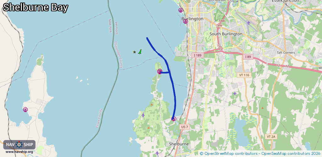
Waterway information

Kind:
Inland
Driving areas:
🇺🇸 United States of America
Length:
8.6 km¹
¹River kilometers or bank length recorded in NavShip, including river arms and harbor entrances.
Availability:
Completely recorded
Recent Update: 14.02.2024²
² This date indicates when an adjustment last took place in the course of the body of water
Recorded:
Locks: 0
Harbours / marinas: 3
Bridges: 0
Berths: 0
Slipways: 0
Fuelstations: 0
Route:
Please wait, loading route graphic...
Request waterway overview map with symbol legend here (Link).
Information about data associated with this body of water (3 available):
Data by OpenSeaMap (c) OSM contributors, www.openseamap.org
| # | Kind | Coordinates | Name | Information |
|---|---|---|---|---|
| 1 | Marina | 44.43442,-73.24846 | 2025-12-28T10:12:23Z | Safe Harbor Shelburne Shipyard +1-802-985-3326 https://shmarinas.com/locations/safe-harbor-shelburne-shipyard/ |
| 2 | Marina | 44.43497,-73.24833 | 2021-05-25T03:17:53Z | |
| 3 | Marina | 44.3978,-73.23327 | 2021-05-11T16:45:01Z |