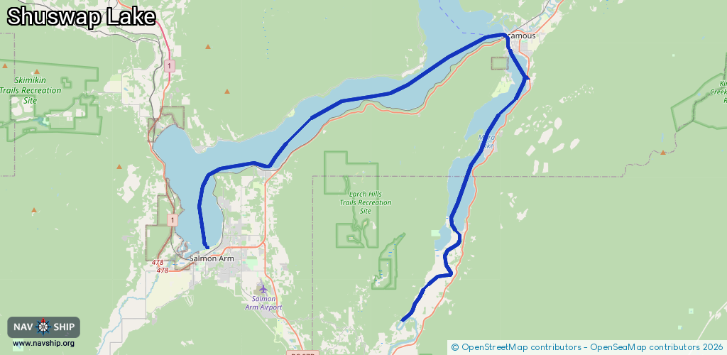
Waterway information

Kind:
Inland
Driving areas:
🇨🇦 Canada
Length:
52.4 km¹
¹River kilometers or bank length recorded in NavShip, including river arms and harbor entrances.
Availability:
Completely recorded
Recent Update: 04.06.2024²
² This date indicates when an adjustment last took place in the course of the body of water
Recorded:
Locks: 0
Harbours / marinas: 4
Bridges: 0
Berths: 0
Slipways: 0
Fuelstations: 1
Route:
Please wait, loading route graphic...
Request waterway overview map with symbol legend here (Link).
Information about data associated with this body of water (5 available):
Data by OpenSeaMap (c) OSM contributors, www.openseamap.org
| # | Kind | Coordinates | Name | Information |
|---|---|---|---|---|
| 1 | Marina | 50.80989,-118.97292 | 2022-09-07T04:42:08Z | Sicamous Houseboats |
| 2 | Marina | 50.75517,-119.22231 | 2024-04-29T14:56:13Z | |
| 3 | Marina | 50.75376,-119.26303 | 2026-01-24T03:10:15Z | Captain's Cove Marina |
| 4 | Marina | 50.70976,-119.28466 | 2025-05-10T06:23:53Z | |
| 5 | Fuel station | 50.71016,-119.28446 | 2025-05-10T06:23:53Z |