Waterway information

Kind:
Inland
Driving areas:
🇷🇺 Russia
Length:
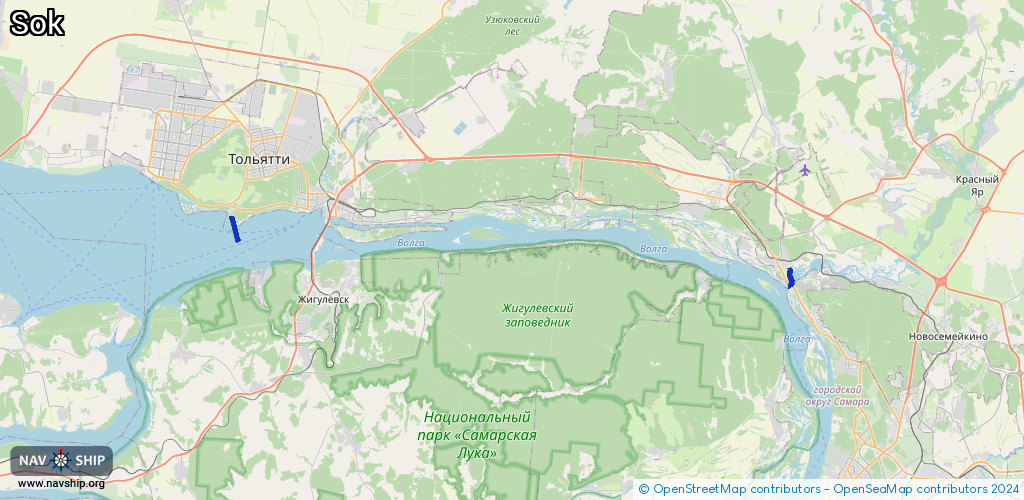
4.3 km¹
¹River kilometers or bank length recorded in NavShip, including river arms and harbor entrances.
Availability:
Completely recorded
Recent Update: 19.01.2024²
² This date indicates when an adjustment last took place in the course of the body of water
Recorded:
Locks: 0
Harbours / marinas: 2
Bridges: 0
Berths: 1
Slipways: 0
Fuelstations: 0
Route:
Please wait, loading route graphic...
Request waterway overview map with symbol legend here (Link).
Information about data associated with this body of water (3 available):
Data by OpenSeaMap (c) OSM contributors, www.openseamap.org
| # | Kind | Coordinates | Name | Information |
|---|---|---|---|---|
| 1 | Marina | 53.42587,50.13451 | 2022-10-17T08:30:06Z | |
| 2 | Marina | 53.46793,49.3679 | 2023-05-30T09:10:15Z | яхт-клуб Дружба http://yachtclub-tlt.ru/ |
| 3 | Berth | 53.46748,49.36632 | 2023-05-30T09:10:15Z |