Waterway information

Kind:
Inland
Driving areas:
🌊 Atlantic Ocean🇺🇸 United States of America
Length:
19.2 km¹
¹River kilometers or bank length recorded in NavShip, including river arms and harbor entrances.
Availability:
Completely recorded
Recent Update: 06.06.2025²
² This date indicates when an adjustment last took place in the course of the body of water
Recorded:
Locks: 0
Harbours / marinas: 5
Bridges: 3
Berths: 0
Slipways: 0
Fuelstations: 0
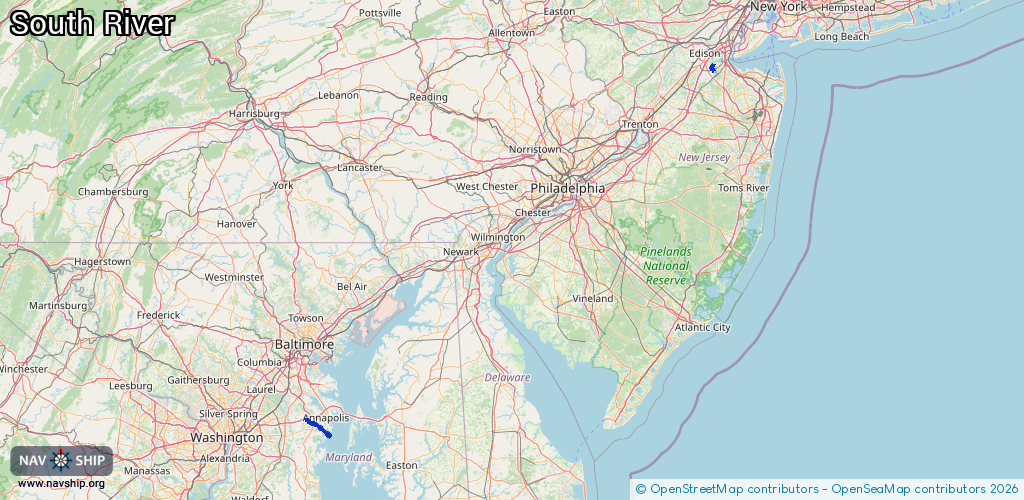
Route:
Please wait, loading route graphic...
Request waterway overview map with symbol legend here (Link).
Information about data associated with this body of water (8 available):
Data by OpenSeaMap (c) OSM contributors, www.openseamap.org
| # | Kind | Coordinates | Name | Information |
|---|---|---|---|---|
| 1 | Marina | 40.44708,-74.36866 | 2021-11-29T21:32:34Z | |
| 2 | Marina | 38.94818,-76.5551 | 2020-05-19T21:33:26Z | Pier Seven |
| 3 | Marina | 38.95295,-76.55231 | 2020-05-19T21:33:26Z | Liberty Marina |
| 4 | Marina | 38.9552,-76.55379 | 2020-05-19T21:33:26Z | |
| 5 | Marina | 38.95741,-76.55409 | 2020-05-19T21:33:26Z | |
| 6 | Bridge | 38.95143,-76.55486 | 42.6 | Clearance height: 2024-05-04T20:07:25Z m Maximum passage width: 16.1 m Movable bridge (e.g. lifting bridge or drawbridge) fixed |
| 7 | Bridge | 38.95145,-76.555 | 42.6 | Clearance height: 2024-12-08T21:47:02Z m Maximum passage width: 16.1 m Movable bridge (e.g. lifting bridge or drawbridge) fixed |
| 8 | Bridge | 38.95555,-76.57395 | 15.2 | Clearance height: 2025-12-11T20:25:17Z m Maximum passage width: 7.6 m Movable bridge (e.g. lifting bridge or drawbridge) fixed |