Waterway information

Kind:
Sea
Driving areas:
🇳🇱 Netherlands🌊 North Sea
Length:
32.9 km¹
¹River kilometers or bank length recorded in NavShip, including river arms and harbor entrances.
Availability:
Completely recorded
Recent Update: 24.02.2026²
² This date indicates when an adjustment last took place in the course of the body of water
Recorded:
Locks: 0
Harbours / marinas: 6
Bridges: 5
Berths: 0
Slipways: 2
Fuelstations: 0
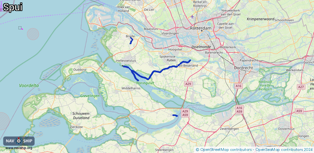
Route:
Please wait, loading route graphic...
Request waterway overview map with symbol legend here (Link).
Information about data associated with this body of water (13 available):
Data by OpenSeaMap (c) OSM contributors, www.openseamap.org
| # | Kind | Coordinates | Name | Information |
|---|---|---|---|---|
| 1 | Marina | 51.8278,4.41185 | 2023-02-14T14:50:09Z | WSV Het Spui +31 6 15136782 https://www.wsvhetspui.nl/ |
| 2 | Marina | 51.79969,4.27624 | 2024-06-24T08:57:05Z | WSV Goudswaard https://www.wsvgoudswaard.nl |
| 3 | Marina | 51.80509,4.28302 | 2023-08-09T00:12:18Z | Haven van Zuidland |
| 4 | Marina | 51.80508,4.2641 | 2023-07-14T21:54:22Z | W.S.V. Blinckvliet https://wsvblinckvliet-site.e-captain.nl/ |
| 5 | Marina | 51.68286,4.3543 | 2024-10-30T13:52:22Z | Jachthaven Ooltgensplaat +31 187 663 009 https://wsv-ooltgensplaat.nl/ |
| 6 | Marina | 51.81234,4.33339 | 2025-01-05T19:24:48Z | WSV Nieuw-Beijerland |
| 7 | Bridge | 51.88819,4.16679 | Unknown | Clearance height: 2019-07-16T15:33:37Z m |
| 8 | Bridge | 51.89595,4.16632 | Unknown | Clearance height: 2019-07-16T15:33:37Z m |
| 9 | Bridge | 51.89602,4.16623 | Unknown | Clearance height: 2021-01-27T19:14:36Z m |
| 10 | Bridge | 51.89841,4.16387 | Unknown | Clearance height: 2019-07-16T15:33:37Z m |
| 11 | Bridge | 51.89859,4.16389 | Unknown | Clearance height: 2019-07-16T15:33:38Z m |
| 12 | Slipway | 51.83007,4.39581 | small_craft_facility | 2023-07-14T21:32:45Z |
| 13 | Slipway | 51.80485,4.26348 | small_craft_facility | 2023-07-14T21:54:22Z |