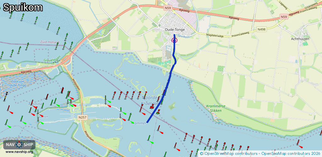
Waterway information

Kind:
Inland
Driving areas:
🇳🇱 Netherlands🌊 North Sea
Length:
3.6 km¹
¹River kilometers or bank length recorded in NavShip, including river arms and harbor entrances.
Availability:
Completely recorded
Recent Update: 27.02.2026²
² This date indicates when an adjustment last took place in the course of the body of water
Recorded:
Locks: 0
Harbours / marinas: 1
Bridges: 0
Berths: 0
Slipways: 0
Fuelstations: 0
Route:
Please wait, loading route graphic...
Request waterway overview map with symbol legend here (Link).
Information about data associated with this body of water (1 available):
Data by OpenSeaMap (c) OSM contributors, www.openseamap.org
| # | Kind | Coordinates | Name | Information |
|---|---|---|---|---|
| 1 | Marina | 51.68698,4.21219 | 2022-06-06T14:52:27Z | Watersportvereniging Oude Tonge [email protected] +31 187 643 050 https://wsv-oudetonge.nl/ |