Waterway information

Kind:
Inland
Driving areas:
🇨🇦 Canada🇺🇸 United States of America
Length:
20.2 km¹
¹River kilometers or bank length recorded in NavShip, including river arms and harbor entrances.
Availability:
Completely recorded
Recent Update: 13.06.2025²
² This date indicates when an adjustment last took place in the course of the body of water
Recorded:
Locks: 0
Harbours / marinas: 7
Bridges: 0
Berths: 0
Slipways: 1
Fuelstations: 1
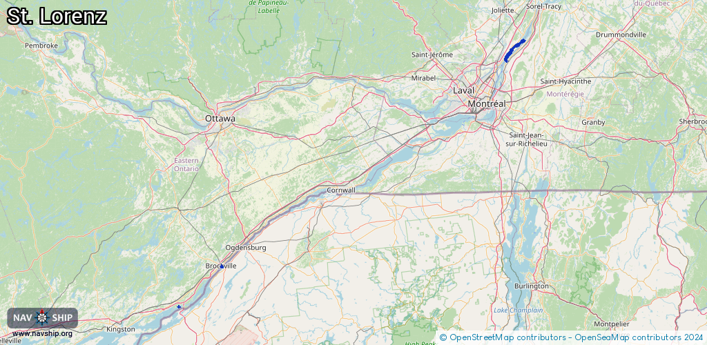
Route:
Please wait, loading route graphic...
Request waterway overview map with symbol legend here (Link).
Information about data associated with this body of water (9 available):
Data by OpenSeaMap (c) OSM contributors, www.openseamap.org
| # | Kind | Coordinates | Name | Information |
|---|---|---|---|---|
| 1 | Marina | 44.3593,-76.02159 | 2020-08-31T17:50:14Z | Peck's Marina [email protected] +1-613-659-3185 http://pecksmarina.ca/ |
| 2 | Marina | 44.58867,-75.68174 | 2020-08-31T17:50:14Z | Brockville Municipal Harbour +1-613-342-8772 x3266 https://brockville.com/municipalharbour |
| 3 | Marina | 44.58717,-75.68356 | 2020-08-31T17:50:14Z | Tall Ships Landing Marina +1-613-498-4567 https://tallshipslanding.com/marina/ |
| 4 | Marina | 44.58408,-75.68789 | 2022-04-14T14:04:02Z | Gilbert Marine +1-613-342-3462 https://gilbert-marine.business.sit e/ |
| 5 | Marina | 44.58449,-75.68809 | 2022-04-14T14:04:02Z | Gilbert Marina |
| 6 | Marina | 44.58501,-75.68724 | 2023-10-29T08:05:57Z | Brockville Yacht Club +1-613-345-3146 https://www.brockvilleyachtclub.com/ |
| 7 | Marina | 45.76279,-73.41958 | 2021-06-12T00:05:47Z | Marina de la Rive-Nord |
| 8 | Slipway | 45.76219,-73.4193 | Unknown | 2020-11-25T15:44:16Z |
| 9 | Fuel station | 44.58688,-75.68275 | 2018-09-09T19:38:23Z | Macewen MacEwen |