Waterway information

Kind:
Sea
Driving areas:
🇸🇪 Sweden
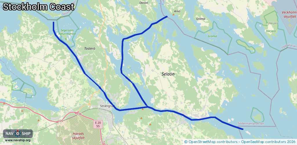
Length:
49.7 km¹
¹River kilometers or bank length recorded in NavShip, including river arms and harbor entrances.
Availability:
Completely recorded
Recent Update: 11.07.2025²
² This date indicates when an adjustment last took place in the course of the body of water
Recorded:
Locks: 0
Harbours / marinas: 2
Bridges: 0
Berths: 0
Slipways: 0
Fuelstations: 1
Route:
Please wait, loading route graphic...
Request waterway overview map with symbol legend here (Link).
Information about data associated with this body of water (3 available):
Data by OpenSeaMap (c) OSM contributors, www.openseamap.org
| # | Kind | Coordinates | Name | Information |
|---|---|---|---|---|
| 1 | Marina | 59.36455,17.21075 | 2025-09-14T12:12:16Z | Stallarholmen Marina |
| 2 | Marina | 59.37812,17.02734 | 2024-09-02T11:28:47Z | Strängnäs Gästhamn +46 732 56 19 34 |
| 3 | Fuel station | 59.37936,17.02834 | 2024-10-29T20:54:34Z | Sjömack |