Waterway information

Kind:
Inland
Driving areas:
🇳🇴 Norway🇸🇪 Sweden
Length:
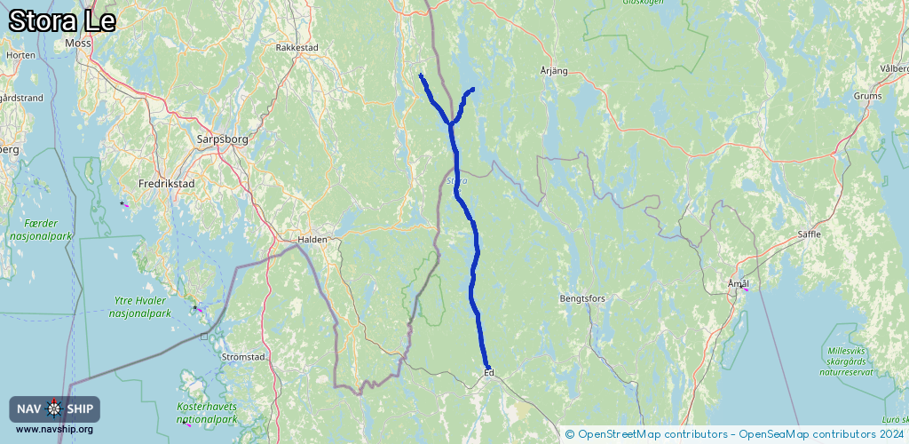
76.4 km¹
¹River kilometers or bank length recorded in NavShip, including river arms and harbor entrances.
Availability:
Completely recorded
Recent Update: 05.03.2025²
² This date indicates when an adjustment last took place in the course of the body of water
Recorded:
Locks: 0
Harbours / marinas: 2
Bridges: 0
Berths: 0
Slipways: 1
Fuelstations: 0
Route:
Please wait, loading route graphic...
Request waterway overview map with symbol legend here (Link).
Information about data associated with this body of water (3 available):
Data by OpenSeaMap (c) OSM contributors, www.openseamap.org
| # | Kind | Coordinates | Name | Information |
|---|---|---|---|---|
| 1 | Marina | 58.92018,11.93356 | 2025-02-28T05:13:34Z | Dal-Eds Gästhamn |
| 2 | Marina | 59.41566,11.98975 | 2025-03-04T03:52:10Z | https://www.vastsverige.com/dalslandskanal/produkter/holmerudsfors-gasthamn/ https://www.vastsverige.com/dalslandskanal/produkter/holmerudsfors-gasthamn/ |
| 3 | Slipway | 59.41558,11.98929 | Unknown | 2025-03-04T03:02:00Z |