Waterway information

Kind:
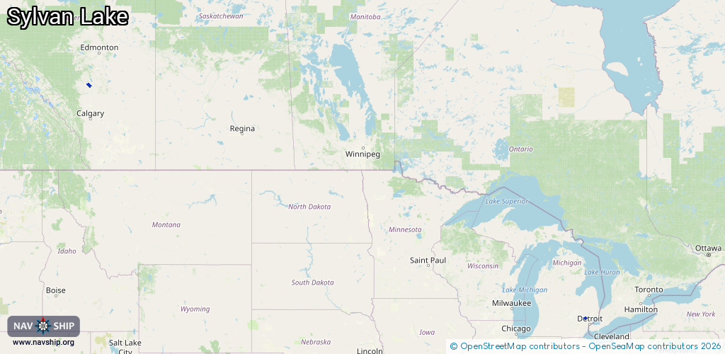
Inland
Driving areas:
🇨🇦 Canada🇺🇸 United States of America
Length:
17.8 km¹
¹River kilometers or bank length recorded in NavShip, including river arms and harbor entrances.
Availability:
Completely recorded
Recent Update: 29.07.2024²
² This date indicates when an adjustment last took place in the course of the body of water
Recorded:
Locks: 0
Harbours / marinas: 2
Bridges: 0
Berths: 0
Slipways: 0
Fuelstations: 1
Route:
Please wait, loading route graphic...
Request waterway overview map with symbol legend here (Link).
Information about data associated with this body of water (3 available):
Data by OpenSeaMap (c) OSM contributors, www.openseamap.org
| # | Kind | Coordinates | Name | Information |
|---|---|---|---|---|
| 1 | Marina | 42.61927,-83.33247 | 2024-06-27T03:51:34Z | Oakland County Boat Club +1 248 682 9870 https://oaklandcountyboatclub.roundtablelive.org/ |
| 2 | Marina | 52.31377,-114.10759 | 2024-07-15T03:00:40Z | Marina Bay |
| 3 | Fuel station | 42.61947,-83.33254 | 2024-06-27T03:51:34Z |