Waterway information

Kind:
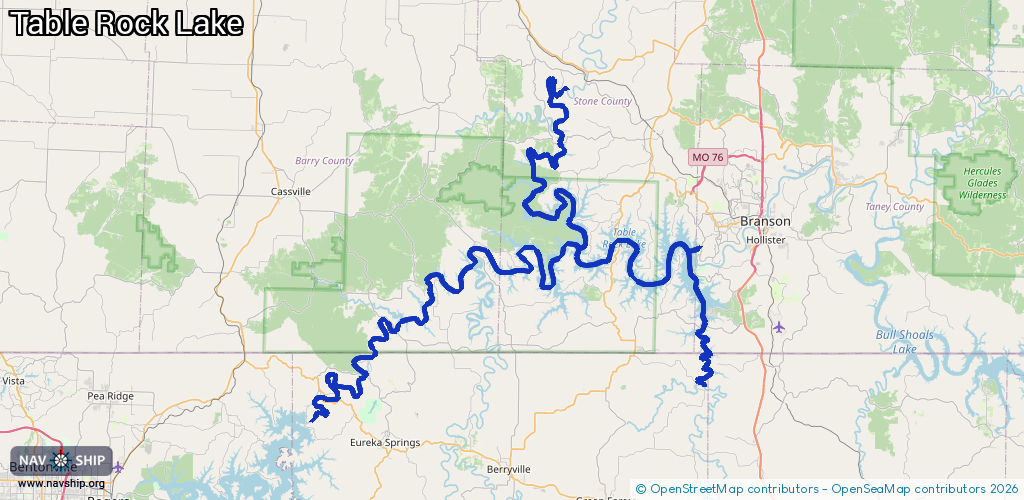
Inland
Driving areas:
🇺🇸 United States of America
Length:
190.1 km¹
¹River kilometers or bank length recorded in NavShip, including river arms and harbor entrances.
Availability:
Completely recorded
Recent Update: 15.05.2025²
² This date indicates when an adjustment last took place in the course of the body of water
Recorded:
Locks: 0
Harbours / marinas: 3
Bridges: 0
Berths: 0
Slipways: 2
Fuelstations: 0
Route:
Please wait, loading route graphic...
Request waterway overview map with symbol legend here (Link).
Information about data associated with this body of water (5 available):
Data by OpenSeaMap (c) OSM contributors, www.openseamap.org
| # | Kind | Coordinates | Name | Information |
|---|---|---|---|---|
| 1 | Marina | 36.57826,-93.30423 | 2025-09-16T02:29:11Z | Table Rock State Park Marina |
| 2 | Marina | 36.72152,-93.53313 | 2025-05-03T06:37:40Z | |
| 3 | Marina | 36.6152,-93.30862 | 2024-09-27T20:57:08Z | Château Marina |
| 4 | Slipway | 36.58139,-93.31154 | small_craft_facility | 2025-05-06T08:50:52Z |
| 5 | Slipway | 36.61421,-93.30735 | small_craft_facility | 2021-05-07T11:24:47Z |