Waterway information

Kind:
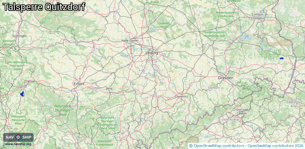
Inland
Driving areas:
🇩🇪 Germany
Length:
16 km¹
¹River kilometers or bank length recorded in NavShip, including river arms and harbor entrances.
Availability:
Completely recorded
Recent Update: 20.06.2023²
² This date indicates when an adjustment last took place in the course of the body of water
Recorded:
Locks: 1
Harbours / marinas: 1
Bridges: 2
Berths: 0
Slipways: 2
Fuelstations: 0
Route:
Please wait, loading route graphic...
Request waterway overview map with symbol legend here (Link).
Information about data associated with this body of water (5 available):
Data by OpenSeaMap (c) OSM contributors, www.openseamap.org
| # | Kind | Coordinates | Name | Information |
|---|---|---|---|---|
| 1 | Marina | 51.27065,14.73748 | 2016-09-20T03:03:27Z | Yachthafen Quitzdorf |
| 2 | Bridge | 50.86147,9.99341 | Unknown | Clearance height: 2013-07-08T15:52:25Z m fixed |
| 3 | Bridge | 50.8569,9.95833 | Unknown | Clearance height: 2013-07-08T15:52:25Z m fixed |
| 4 | Slipway | 51.27303,14.73579 | Unknown | 2019-07-23T14:56:47Z |
| 5 | Slipway | 51.27073,14.73731 | shoreline_construction | 2016-09-20T02:16:51Z |
| 5 | Slipway | 51.27073,14.73731 | shoreline_construction | 2016-09-20T02:16:51Z |