Waterway information

Kind:
Inland
Driving areas:
🌊 Atlantic Ocean🇬🇧 United Kingdom
Length:
46.5 km¹
¹River kilometers or bank length recorded in NavShip, including river arms and harbor entrances.
Availability:
Completely recorded
Recent Update: 08.04.2025²
² This date indicates when an adjustment last took place in the course of the body of water
Recorded:
Locks: 0
Harbours / marinas: 4
Bridges: 0
Berths: 1
Slipways: 0
Fuelstations: 1
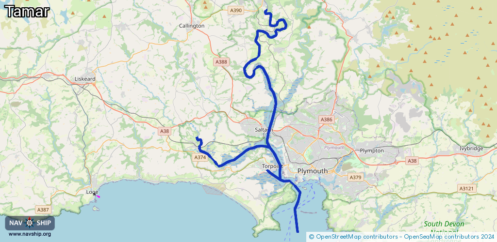
Route:
Please wait, loading route graphic...
Request waterway overview map with symbol legend here (Link).
Information about data associated with this body of water (6 available):
Data by OpenSeaMap (c) OSM contributors, www.openseamap.org
| # | Kind | Coordinates | Name | Information |
|---|---|---|---|---|
| 1 | Marina | 50.3718,-4.19407 | 2024-06-26T21:34:09Z | Torpoint Yacht Harbour [email protected] +44 1752 813658 https://www.torpointyachtharbour.co.uk/ |
| 2 | Marina | 50.36488,-4.16828 | 2021-12-07T10:09:37Z | Mayflower Marina +44 1752 556633 https://www.mayflowermarina.co.uk/ |
| 3 | Marina | 50.37237,-4.20716 | 2021-01-21T20:41:27Z | |
| 4 | Marina | 50.39371,-4.23341 | 2013-05-04T13:41:19Z | Antony Passage Harbour |
| 5 | Berth | 50.3899,-4.18788 | 2024-01-11T21:42:16Z | Power Range Testing Berth |
| 6 | Fuel station | 50.36503,-4.16671 | 2018-12-13T08:16:52Z | 00:00-23:59 |