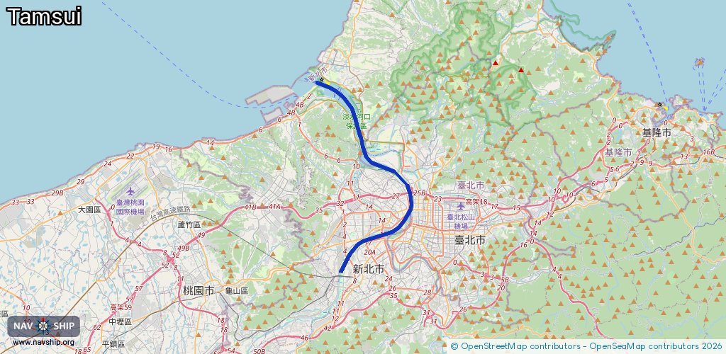
Waterway information

Kind:
Inland
Driving areas:
🌊 Pacific Ocean🇹🇼 Taiwan
Length:
26.5 km¹
¹River kilometers or bank length recorded in NavShip, including river arms and harbor entrances.
Availability:
Completely recorded
Recent Update: 29.01.2025²
² This date indicates when an adjustment last took place in the course of the body of water
Recorded:
Locks: 0
Harbours / marinas: 4
Bridges: 0
Berths: 0
Slipways: 0
Fuelstations: 0
Route:
Please wait, loading route graphic...
Request waterway overview map with symbol legend here (Link).
Information about data associated with this body of water (4 available):
Data by OpenSeaMap (c) OSM contributors, www.openseamap.org
| # | Kind | Coordinates | Name | Information |
|---|---|---|---|---|
| 1 | Marina | 25.16707,121.44401 | 2023-08-18T10:13:06Z | 金色水岸漁船靠泊區 |
| 2 | Marina | 25.17316,121.43516 | 2024-01-27T12:43:56Z | 淡水第一漁港 |
| 3 | Marina | 25.16427,121.42226 | 2021-06-28T07:23:52Z | 八里風帆碼頭 |
| 4 | Marina | 25.1666,121.41695 | 2022-08-05T11:27:15Z | 挖仔港 |