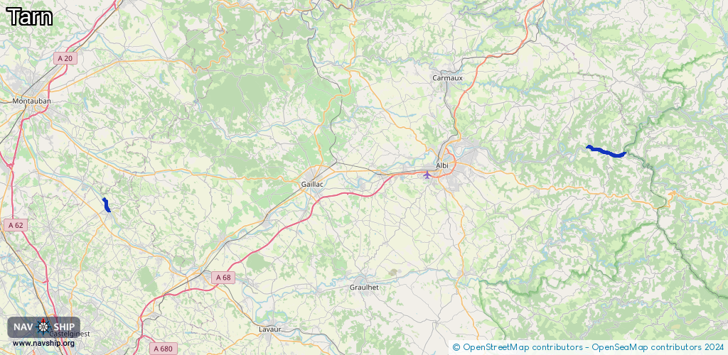
Waterway information

Kind:
Inland
Driving areas:
🇫🇷 France
Length:
18.2 km¹
¹River kilometers or bank length recorded in NavShip, including river arms and harbor entrances.
Availability:
Completely recorded
Recent Update: 03.02.2025²
² This date indicates when an adjustment last took place in the course of the body of water
Recorded:
Locks: 0
Harbours / marinas: 1
Bridges: 0
Berths: 0
Slipways: 1
Fuelstations: 0
Route:
Please wait, loading route graphic...
Request waterway overview map with symbol legend here (Link).
Information about data associated with this body of water (2 available):
Data by OpenSeaMap (c) OSM contributors, www.openseamap.org
| # | Kind | Coordinates | Name | Information |
|---|---|---|---|---|
| 1 | Marina | 43.94152,2.48264 | 2022-08-04T16:11:41Z | Canoë Kayak Tarn +33 5 63 55 25 44 http://canoekayaktarn.com/ |
| 2 | Slipway | 43.86478,1.5034 | small_craft_facility | 2022-10-07T13:30:50Z |