Waterway information

Kind:
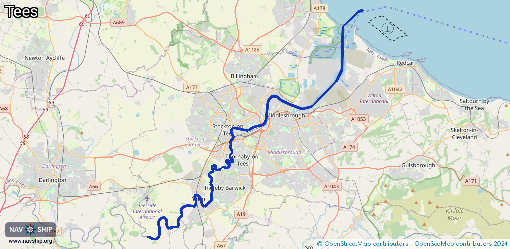
Inland
Driving areas:
🌊 North Sea🇬🇧 United Kingdom
Length:
41.8 km¹
¹River kilometers or bank length recorded in NavShip, including river arms and harbor entrances.
Availability:
Completely recorded
Recent Update: 21.08.2023²
² This date indicates when an adjustment last took place in the course of the body of water
Recorded:
Locks: 1
Harbours / marinas: 3
Bridges: 0
Berths: 0
Slipways: 0
Fuelstations: 0
Route:
Please wait, loading route graphic...
Request waterway overview map with symbol legend here (Link).
Information about data associated with this body of water (4 available):
Data by OpenSeaMap (c) OSM contributors, www.openseamap.org
| # | Kind | Coordinates | Name | Information |
|---|---|---|---|---|
| 1 | Marina | 54.56483,-1.28883 | 2021-03-27T18:29:21Z | |
| 2 | Marina | 54.60104,-1.15132 | 2020-07-08T07:03:42Z | Teesport RoRo +44 1642 877000 https://www.pdports.co.uk/ |
| 3 | Marina | 54.62972,-1.1579 | 2025-01-02T21:28:25Z | Teesport [email protected] +44 1642 877000 http://www.thpal.co.uk |
| 4 | Lock | 54.56394,-1.28668 | Unknown |