Waterway information

Kind:
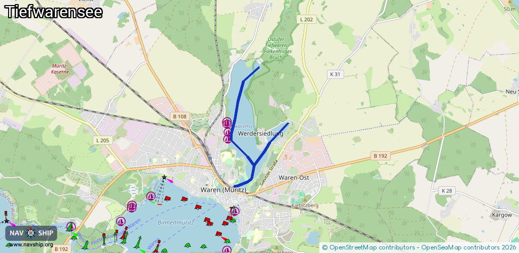
Inland
Driving areas:
🇩🇪 Germany
Length:
4.6 km¹
¹River kilometers or bank length recorded in NavShip, including river arms and harbor entrances.
Availability:
Completely recorded
Recent Update: 09.01.2023²
² This date indicates when an adjustment last took place in the course of the body of water
Recorded:
Locks: 0
Harbours / marinas: 4
Bridges: 0
Berths: 0
Slipways: 0
Fuelstations: 0
Route:
Please wait, loading route graphic...
Request waterway overview map with symbol legend here (Link).
Information about data associated with this body of water (4 available):
Data by OpenSeaMap (c) OSM contributors, www.openseamap.org
| # | Kind | Coordinates | Name | Information |
|---|---|---|---|---|
| 1 | Marina | 53.52876,12.68622 | 2024-04-05T21:49:39Z | |
| 2 | Marina | 53.52913,12.68623 | 2024-04-05T21:49:39Z | |
| 3 | Marina | 53.52713,12.68662 | 2024-11-16T14:59:27Z | Angelverein Tiefwarensee 1976 e.V. |
| 4 | Marina | 53.52572,12.68658 | 2023-01-04T22:25:33Z |