Waterway information

Kind:
Inland
Driving areas:
🇦🇹 Austria
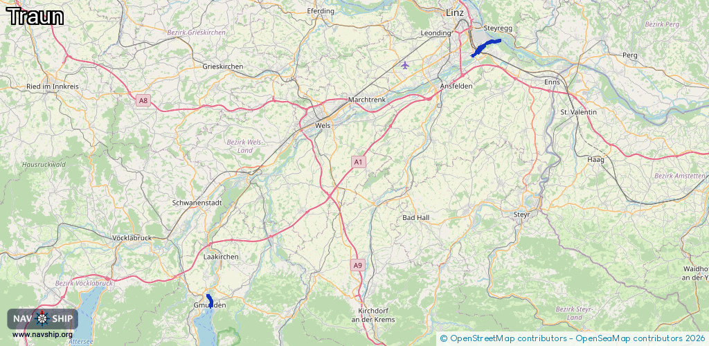
Length:
8.9 km¹
¹River kilometers or bank length recorded in NavShip, including river arms and harbor entrances.
Availability:
Completely recorded
Recent Update: 30.07.2024²
² This date indicates when an adjustment last took place in the course of the body of water
Recorded:
Locks: 0
Harbours / marinas: 0
Bridges: 3
Berths: 0
Slipways: 1
Fuelstations: 0
Route:
Please wait, loading route graphic...
Request waterway overview map with symbol legend here (Link).
Information about data associated with this body of water (4 available):
Data by OpenSeaMap (c) OSM contributors, www.openseamap.org
| # | Kind | Coordinates | Name | Information |
|---|---|---|---|---|
| 1 | Bridge | 48.25487,14.33319 | Unknown | Clearance height: 2013-08-26T16:52:25Z m fixed |
| 2 | Bridge | 48.25573,14.33396 | Unknown | Clearance height: 2013-08-26T16:52:24Z m fixed |
| 3 | Bridge | 48.25721,14.33141 | Unknown | Clearance height: 2013-08-26T16:52:24Z m fixed |
| 4 | Slipway | 48.26748,14.36506 | small_craft_facility | 2013-02-11T14:15:13Z |