Waterway information

Kind:
Inland
Driving areas:
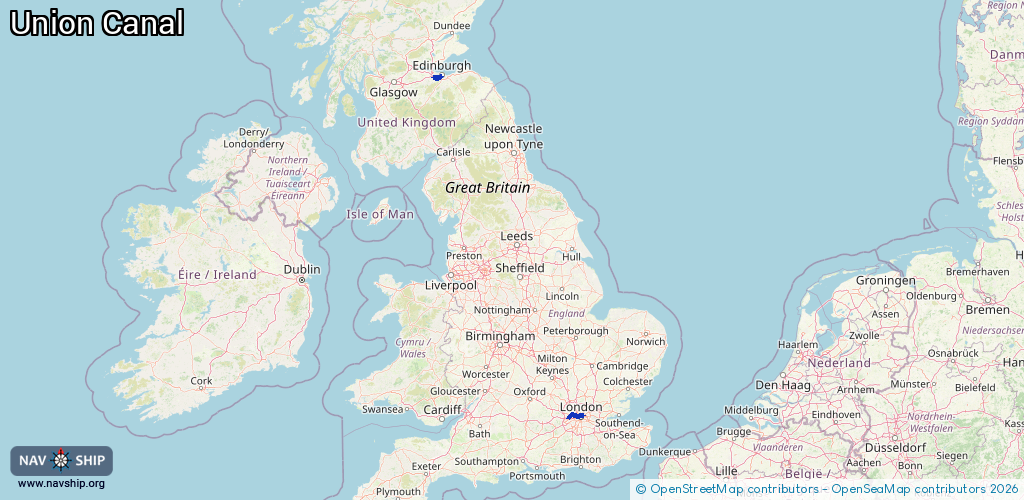
🌊 North Sea🇬🇧 United Kingdom
Length:
41.6 km¹
¹River kilometers or bank length recorded in NavShip, including river arms and harbor entrances.
Availability:
Completely recorded
Recent Update: 15.01.2025²
² This date indicates when an adjustment last took place in the course of the body of water
Recorded:
Locks: 6
Harbours / marinas: 4
Bridges: 0
Berths: 0
Slipways: 0
Fuelstations: 0
Route:
Please wait, loading route graphic...
Request waterway overview map with symbol legend here (Link).
Information about data associated with this body of water (10 available):
Data by OpenSeaMap (c) OSM contributors, www.openseamap.org
| # | Kind | Coordinates | Name | Information |
|---|---|---|---|---|
| 1 | Marina | 51.52961,-0.37692 | 2024-02-10T21:35:46Z | Engineer's Wharf Moorings |
| 2 | Marina | 51.53486,-0.12065 | 2021-08-07T14:56:03Z | Ice Wharf Marina mooringtenders.waterscape.com |
| 3 | Marina | 51.53405,-0.12088 | 2021-08-07T14:56:03Z | Battlebridge Marina www.battlebridgemoorings.co.uk |
| 4 | Marina | 55.92415,-3.37783 | 2025-01-14T08:28:54Z | Ratho Marina |
| 5 | Lock | 51.52133,-0.18409 | Unknown | |
| 6 | Lock | 51.54114,-0.14565 | Unknown | |
| 7 | Lock | 51.54169,-0.1439 | Unknown | |
| 8 | Lock | 51.54155,-0.14231 | Unknown | |
| 9 | Lock | 51.53613,-0.12787 | Unknown | |
| 10 | Lock | 51.53267,-0.09883 | Unknown |