Waterway information

Kind:
Inland
Driving areas:
🌊 Atlantic Ocean🇺🇸 United States of America
Length:
3.7 km¹
¹River kilometers or bank length recorded in NavShip, including river arms and harbor entrances.
Availability:
Completely recorded
Recent Update: 12.12.2023²
² This date indicates when an adjustment last took place in the course of the body of water
Recorded:
Locks: 0
Harbours / marinas: 0
Bridges: 0
Berths: 5
Slipways: 0
Fuelstations: 0
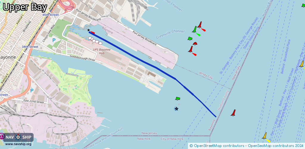
Route:
Please wait, loading route graphic...
Request waterway overview map with symbol legend here (Link).
Information about data associated with this body of water (5 available):
Data by OpenSeaMap (c) OSM contributors, www.openseamap.org
| # | Kind | Coordinates | Name | Information |
|---|---|---|---|---|
| 1 | Berth | 40.67206,-74.08833 | 2023-01-16T11:37:23Z | USCGC Sturgeon Bay https://www.dvidshub.net/image/4426117/us-coast-guard-cutter-sturgeon-bay-participates-new-york-citys-fleet-week-2018-parade-ships |
| 2 | Berth | 40.67172,-74.08731 | 2023-01-16T11:37:23Z | USCGC Penobscot Bay https://www.dvidshub.net/image/4186737/coast-guard-cutter-penobscot-bay-hove-ice-hudson-river |
| 3 | Berth | 40.67224,-74.0892 | 2023-01-16T11:37:23Z | USCGC Katerine Walker A Keeper Class coastal buoy tender with a crew of 24, responsible for servicing harbor buoys. This multi-mission vessel has a 2,000 nautical mile range and can perform search and rescue, law enforcement, homeland defense operations, and ice breaking. https://www.dvidshub.net/image/1073033/cgc-katherine-walker |
| 4 | Berth | 40.67268,-74.08989 | 2023-01-16T11:37:23Z | USCGC Hawser https://www.dvidshub.net/image/1081755/ice-breaker |
| 5 | Berth | 40.67284,-74.09032 | 2023-01-16T11:37:23Z | USCGC Line |