Waterway information

Kind:
Inland
Driving areas:
🇸🇪 Sweden
Length:
13.7 km¹
¹River kilometers or bank length recorded in NavShip, including river arms and harbor entrances.
Availability:
Completely recorded
Recent Update: 26.09.2023²
² This date indicates when an adjustment last took place in the course of the body of water
Recorded:
Locks: 0
Harbours / marinas: 1
Bridges: 0
Berths: 0
Slipways: 4
Fuelstations: 0
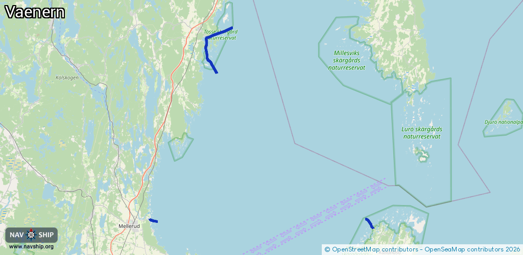
Route:
Please wait, loading route graphic...
Request waterway overview map with symbol legend here (Link).
Information about data associated with this body of water (5 available):
Data by OpenSeaMap (c) OSM contributors, www.openseamap.org
| # | Kind | Coordinates | Name | Information |
|---|---|---|---|---|
| 1 | Marina | 58.70716,12.50896 | 2019-03-26T09:22:47Z | Sunnanå gästhamn http://www.sunnanahamn.se/sv/ |
| 2 | Slipway | 58.70887,12.50921 | small_craft_facility | 2021-07-17T21:19:29Z |
| 3 | Slipway | 58.69618,13.11141 | small_craft_facility | 2021-09-10T07:34:34Z |
| 4 | Slipway | 58.96334,12.65871 | small_craft_facility | 2016-07-23T14:53:09Z |
| 5 | Slipway | 58.96349,12.65855 | small_craft_facility | 2018-05-09T21:05:32Z |