Waterway information

Kind:
Inland
Driving areas:
🇸🇪 Sweden
Length:
27.8 km¹
¹River kilometers or bank length recorded in NavShip, including river arms and harbor entrances.
Availability:
Completely recorded
Recent Update: 26.09.2023²
² This date indicates when an adjustment last took place in the course of the body of water
Recorded:
Locks: 0
Harbours / marinas: 5
Bridges: 1
Berths: 0
Slipways: 3
Fuelstations: 0
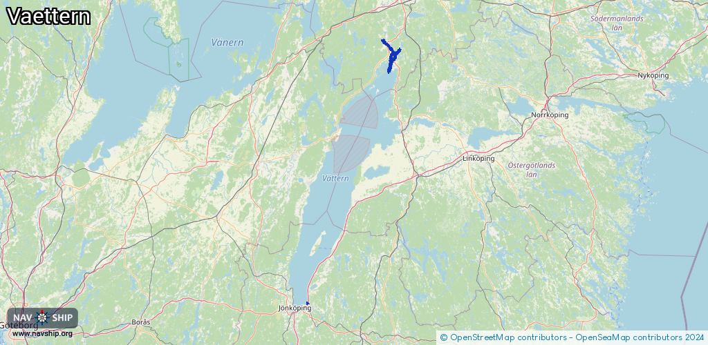
Route:
Please wait, loading route graphic...
Request waterway overview map with symbol legend here (Link).
Information about data associated with this body of water (9 available):
Data by OpenSeaMap (c) OSM contributors, www.openseamap.org
| # | Kind | Coordinates | Name | Information |
|---|---|---|---|---|
| 1 | Marina | 57.79691,14.26701 | 2024-04-26T12:18:32Z | |
| 2 | Marina | 58.87527,14.90201 | 2022-07-07T11:04:34Z | |
| 3 | Marina | 58.86281,14.99248 | 2022-07-07T11:04:34Z | |
| 4 | Marina | 58.85359,14.99513 | 2022-07-07T11:04:34Z | Kärraviken |
| 5 | Marina | 58.78437,14.92797 | 2022-10-05T06:20:54Z | |
| 6 | Bridge | 58.81301,14.93354 | Unknown | Clearance height: 2022-07-07T11:04:34Z m Maximum passage width: 22 m fixed |
| 7 | Slipway | 57.79655,14.26774 | small_craft_facility | 2018-08-15T06:40:10Z |
| 8 | Slipway | 57.79748,14.26842 | small_craft_facility | 2022-05-15T08:18:34Z |
| 9 | Slipway | 57.79757,14.26842 | small_craft_facility | 2022-05-15T08:16:33Z |